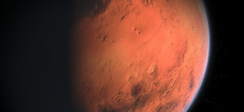
Exploring One Of Our Nearest Neighbors In Space
3D laser scanning services have been used to map Mars, and it’s been done in a similar way as what’s done on Earth. 3D scanning is the process of using lasers to measure millions of points on something’s surface. 3D models are created from these measurements that can be used for anything from 3D printing or engineering purposes.
NASA has been using 3D scanning services to create a 3D model of Mars with radar which measures the distance between objects. This allows them to build a 3D model showing what Mars looks like at different angles without having anyone explore it themselves.
The Perseverance and Ingenuity Missions
Mars is a planet that’s hard to reach due to distance and cost. Since it takes many months to reach the red planet, NASA has had to get creative when it comes to planning missions that explore one of our nearest neighbors in space.
The two missions that NASA sent to Mars this year were called Perseverance and Ingenuity. These missions had a rover and a helicopter that could explore Mars without humans going there themselves. There was also another mission called Curiosity which landed on the surface of Mars in 2012 with additional research capabilities.
Each of these missions was sent with 3D laser scanning abilities, including a radar system that could help map the planet. Scientists have been using 3D scanners since the early 2000s to map parts of Mars and study its geology. 3D scanning has been used to map the surface in a way that creates 3D models from measurements. Just like on Earth, 3D models can be used to map out the surface of Mars.
The most recent Mars missions included special 3D cartography equipment that allowed their instruments to scan the planet in different wavelengths of light, and then recombine the reflections of that radiation to produce accurate, stereoscopic images and models of the surface.
Since one of the goals of these missions was to find locations where water may be hiding on Mars, these models are very useful to scientists. They help them determine where water might be, and therefore, where they should explore in more detail.
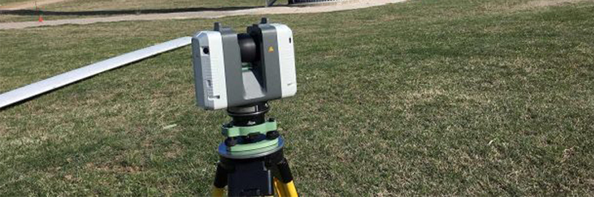
How 3D Laser Scanning Services Work on Earth
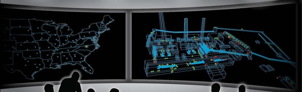
On Earth, 3D scanning services are used by companies that want to map product parts or geographic features like 3D printed maps. 3D printing is an additive manufacturing process where layers of material are laid down in succession until the desired shape is built up.
In comparison, 3D scanning services use lasers to measure millions of points on something’s surface and then use these measurements to create a 3-dimensional picture (a 3D model). This can be used for anything from engineering purposes, creating buildings, bridges, and cars to geographic purposes like mapping the changing landscape over time.
One advantage that 3D scanning services have over traditional drawing techniques is that they are faster. This allows the company or organization creating 3D models to be more efficient with their time, money, and resources – whether they are working on Earth or in space.