Data Gathered Over Last 30 Years
The United Kingdom, though small, has been the home of a lot of history for humanity. As an ongoing project, Historic England is using 3D laser scanning services for over half a million historic photographs to create a 3D map of England and its entire history! The data that was 3D scanned to make this map has been gathered over the last 30 years and required more than 500,000 historical pictures!
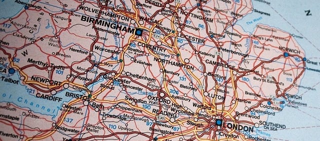
At first glance, it looks like a typical map of England, but when you start zooming in, things begin to appear. The projects that appear can be clicked on to find some quick information about what it is and links that will take you to historical documents, photographs, and current projects. It’s a big step for 3D laser scanning services because it shows the educational value of scanning historical photographs and provides a usable backup for all the information, ensuring it will never get lost.
Using 3D Laser Scanning Services For Maps
This 3D laser scanning services map of England is an exciting advancement for students worldwide because it will change the way we educate and research. It provides a more hands-on experience that begins with a map instead of a book or scholarly article and leads you to exciting photographs.
Due to the overwhelming amount of data you can access through this new mapping tool, it is best to be used on a desktop computer with a full day of available time to learn how it works and gets lost in England’s 3D laser scanning services map! If you are a history buff, you will get lost in this map for days. If it is true that a picture is worth a thousand words, then this map is worth 500,000,000 words. Good luck!