Full building scans aid in faster response time in emergencies
Technology is rapidly advancing faster than consumers, far beyond what researchers ever thought was possible. A security technology company has created GeoSLAM, a mobile 3D laser scanner that can scan full buildings. These scans will help train officers, teaching them the layout of the building for faster responding times during an emergency.
Background of 3D laser scanners
3D laser scanners have developed in the past few years to do incredible things. They are not only used for manufactures, but they are used across the globe in multiple fields. Full-body scanners are being inputted in hospitals to detect severe issues without being invasive to someone’s body. Students are using this technology through Ipads and other smartphones as study aids. It is now being used to train first responders in case of an emergency.
These scanners developed in the 1960s but only recently gained adoption in the 1990s. The first few scanners were created to take pictures of an object with huge cameras set up to capture every angle. Now they have evolved into handheld devices that can take a few thousand images per second.
The images captured collect every single microscopic detail that human eyes can’t pick up. It captures every dimension, every surface, all crooks, and crannies. After the information is collected, it is saved in the cloud forever. Once all the information is protected, it can be transferred to a partnering system where it can be turned into virtual reality or a 3D printed model.
A security firm uses this technology to ensure safety
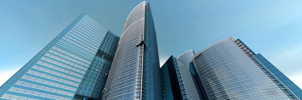
Entropy Group LLC is a company based in San Ramon, California that is focused on helping police officers save lives. The goal is to scan more significant buildings that are usually filled with citizens, such as schools or major office buildings. From these scans, this group can create virtual reality for the police officers to learn the layout and get to the shooter faster.
When an officer goes into an unknown area, it can be hard for them to know which route is the fastest to the perpetrator. It can also be hard to see where the most populated area is, and the safest route to get citizens out. If an officer practices in the actual layout, when an emergency strikes, they will know the best course of action.
“In the role-playing scenario staged at a mega-church, the off-duty police officers reached the shooter in up to 21 percent less time using a 2D floorplan generated from the laser scans. However, we expect engagement times to drop considerably by leveraging the 3D scan data to create virtual reality training simulations.” Says the CEO of Entropy.
The latest scanner for 2D floorplans
The company uses a 3D laser scanner called GeoSLAM ZEB-HORIZON, and this model creates a 2D map with incredible detail and quality. This technology allows people to scan every inch inside and outside the building at walking speed. It is also set up with a paired with a GPS so that when the signal is weak, they still have an accurate map of where things are.
3D laser scanners have changed the way consumers view safety. As more progress is made in this area, better ways of keeping lives safe will come from this technology. Soon all over the world, people will know and understand the benefits of this technology. 3D laser scanning will become known for it’s accuracy in helping civil officers rescue people in need.