How They’re Using Digital Twin Technology
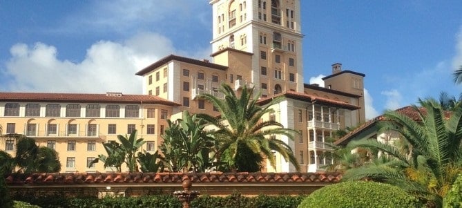
The small city of Coral Gables, Florida has an outstanding tool that has spurred the city’s growth and is accessible to the public: online digital twins.
In short, a digital twin uses 3D laser scanning services technology to create a virtual replica of a physical object or system. This replica can be used for various purposes, such as monitoring and diagnostics, predicting future behavior, or controlling the physical object or system.
3D Laser Scanning Services Are a Critical Technology That Can Be Used to Create Digital Twins
By scanning an object or system in 3D, it is possible to create a highly accurate digital replica. This replica can then be used for any of the aforementioned purposes.
Established as part of a collaborative effort with Amazon Web Services, the online digital twins technology allows web visitors to visit the Coral Gables thanks to data collection in real-time and an interactive satellite map.
The City of Coral Gables is a test site for digital twins technology. The city uses 3D laser scanning technology to manage live data, economic development, public safety, and efficient mobility.
Smart Cities Connect 2022, held in Coral Gables, focused on how cities can rely on the technology to improve the quality of life for residents.
Rayza Collazo, the city’s IT systems analyst, and Ali Asad Hasan, business director for Internet of Things and AWS’ Smart Cities Partners, talked about the possibility and the power of aggregating specific services and solutions into a single website.
The digital twins’ technology in Coral Gables offers data on live traffic, asset management, the topography of the place, and parking availability, to mention a few. With collaboration with 14 other state departments, this 3D laser scanning services technology has enabled access to such data in one consolidated website.
Live data and economic activity are a few areas where this 3D technology has been applied: health and wellness. For example, the city uses a live data feed to monitor traffic, infrastructure, and economic development. The city can also use the data to decide where to allocate resources.
For example, if there is a traffic jam on one street, the city can use the data to route traffic around it. The live data also helps the city to identify trends and plan for the future.
Using this form of 3D scanning services technology, the city of Coral Gables can make decisions based on real-time data that will help improve its residents’ quality of life.
