Precision Scanning for Critical Floor Quality Assurance
Floor Flatness and Levelness Services
3D Laser Scanning Services For Level Floors
Uneven concrete slabs? Wavy warehouse floors? Need to meet industry standards? Arrival 3D offers advanced Floor Flatness and Levelness Surveying services using precise 3D laser scanning technology to measure surface irregularities, slopes or other floor defects to help you assess a floor’s condition and plan any remediation.
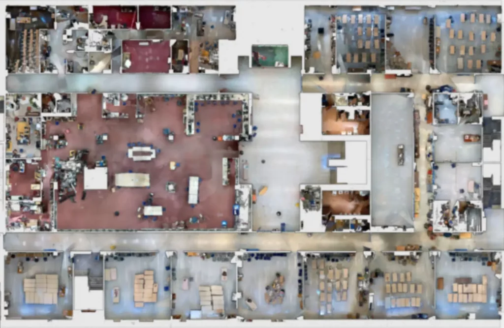
We use highly reliable leveling equipment to determine the true up direction and capture detailed scans of visible floor surfaces. 3D laser scan results show a much more comprehensive picture of what is going on with the floor, giving you a far better understanding than with conventional measurement samples taken every 10 ft, etc. Scan results can be provided as a 3D surface in CAD format as well as prepared reports that very clearly show where the floor is high, low and within tolerance.
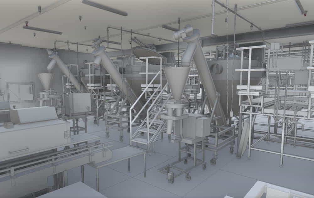
Flat and level floors in industrial and commercial buildings are becoming more important due to the use of robots and other high-precision machines. With our 3D laser scanning and BIM modeling services, so we minimize speculation by revealing the true condition of the floor and make it easy for you to communicate this to others.
What Type of Results Can Your Receive From a Floor 3D Scan?
There are several types of files that can be produced as a result of 3D scanning a floor, including:
✅ Deviation Color Maps
✅ Deviation Color Maps with Annotations
✅ Topography Maps
✅ 3D Mesh Surface
✅ NURBS model
We can often scan a floor in one day. The time needed is primarily dependent on the size of the scan scope area.
Our Measurement Process
Step 1
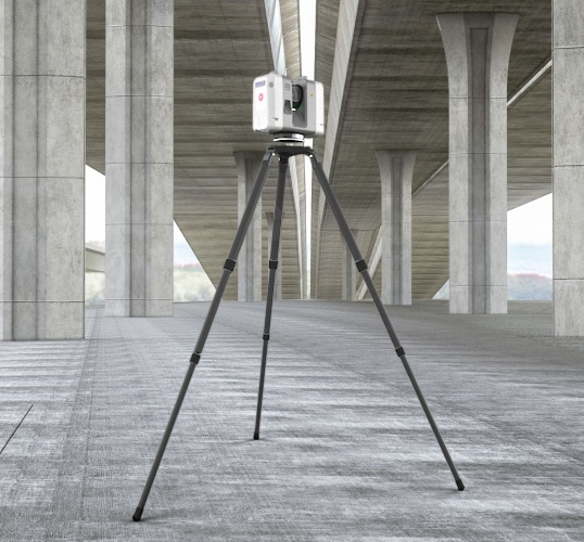
3D Laser Scanning / LiDAR Capture
We scan the surface using high-resolution LiDAR scanners like the Leica RTC360 and BLK360, collecting millions of data points that represent the floor’s geometry with millimeter accuracy.
Step 2
Point Cloud Processing
The captured data is processed into a structured point cloud that maps even the smallest surface deviations.
Step 3
Flatness and Levelness Analysis
We compare the surface profile against specified FF/FL tolerances and provide heat maps, deviation reports, and 3D models for visualization.
Step 4
Reporting and Documentation
Deliverables include detailed PDF reports, 3D deviation maps, color contour overlays, and CAD-ready files that can be used for remediation or quality verification.
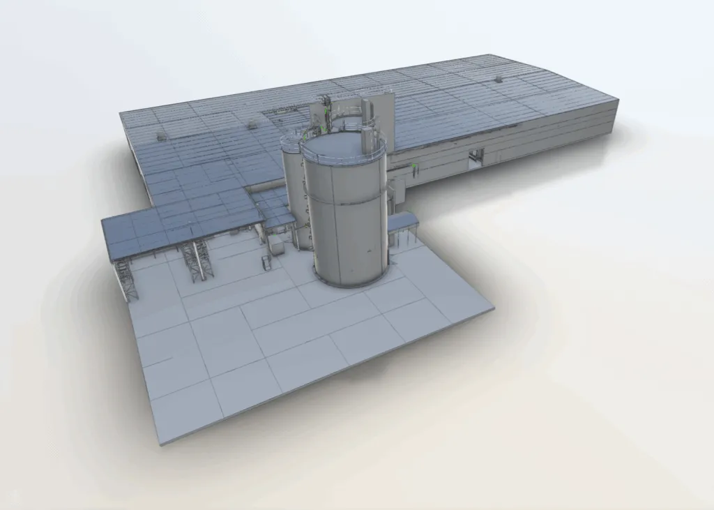
We ensure high performance flooring with our industry specific 3D laser scanning services for floor flatness and levelness. Following are the industries we serve:
✅ Industrial Facilities: To enforce that the floors of warehouses, factories, and distribution centers meet accurate flatness tolerances.
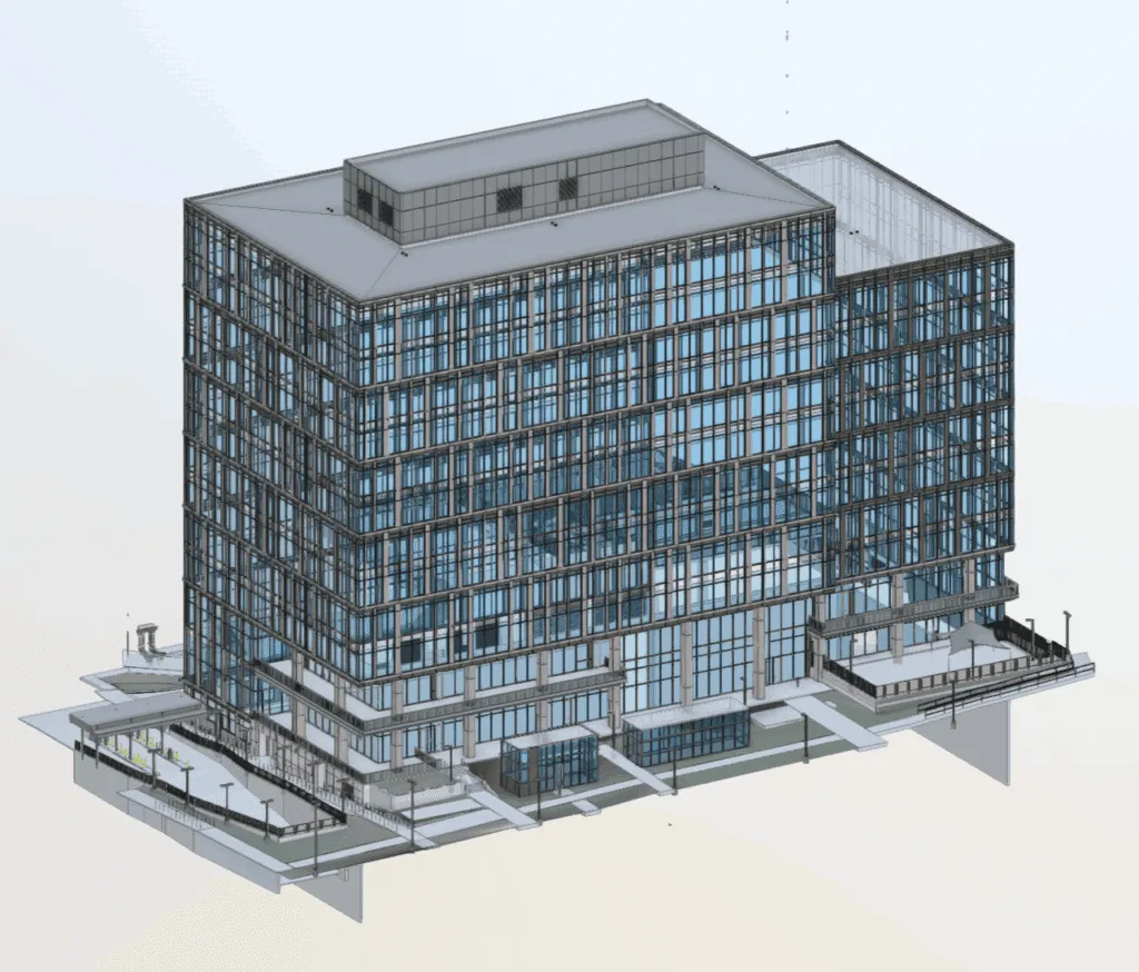
✅ Commercial Buildings: Ensure smooth surfaces for office and retail spaces.
✅ Concrete Construction: To confirm slab flatness and levelness during cement pouring and surface refinement.
✅ Precision Environments: Optimal for laboratories, hospitals, sports, and aerospace facilities.
✅ Data Centers & Cleanrooms – Minimizing Vibrations and Surface Variations
✅ Sports & Recreational Facilities – Creating Uniform Playing Surfaces
Why Choose Arrival 3D for Floor Flatness and Levelness Services?
Don’t let uneven floors risk the safety and operational efficiency of your industrial facilities, commercial buildings, and healthcare facilities due to uneven floors. With the best 3D laser scanning services in USA, let Arrival 3D ensure your concrete floors meet flatness and levelness certification requirements.
✅ Code Compliance:We comply with the F number, as well as floor flatness and levelness ASTM E1155 standards.
✅ Premium Experts: Our specialist surveyors will maintain quality control and provide complete and accurate survey reports.
Contact us to schedule a free consultation for floor flatness and levelness testing to ensure that your building project meets the highest construction standards.