Choosing an appropriate 3D laser scanning company can have a considerable impact on project costs, timeliness, and success. When evaluating providers, consider the following aspects:
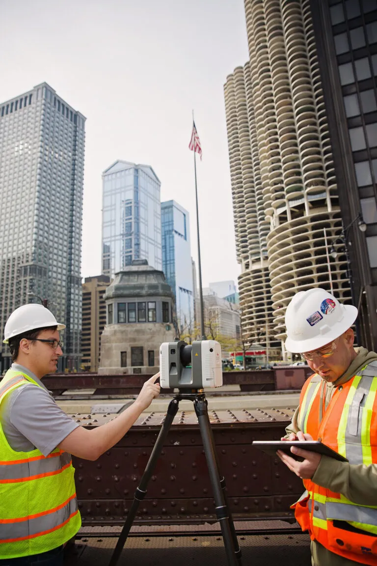
1. Experience and Track Record
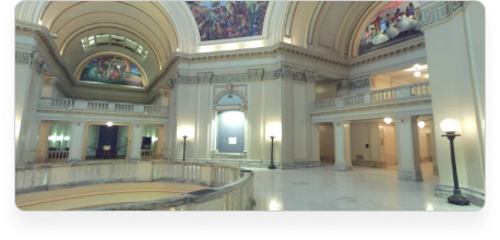
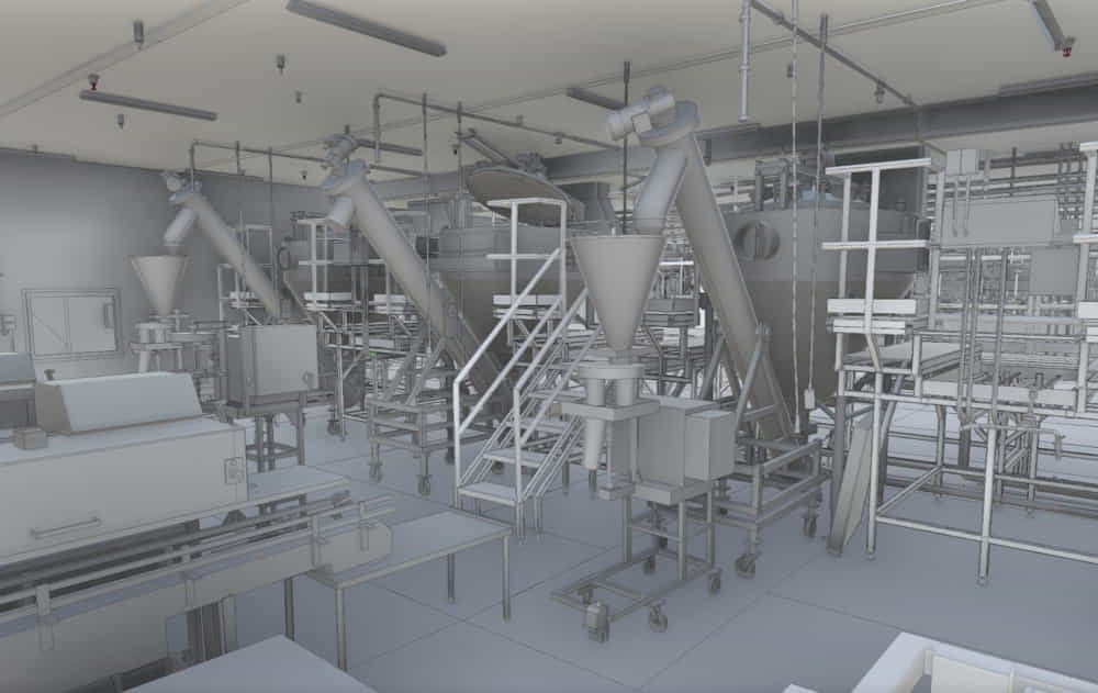
Arrival 3D has executed over 4,500 projects in commercial, industrial, healthcare, infrastructure and government environments.
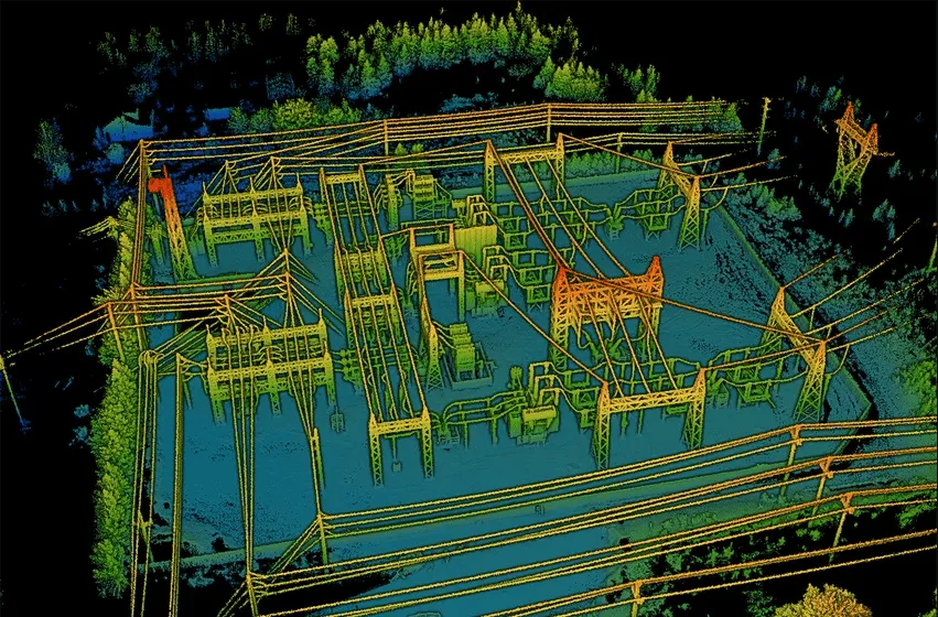
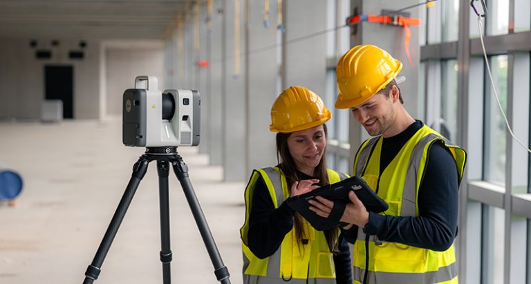
2. Technology & Accuracy
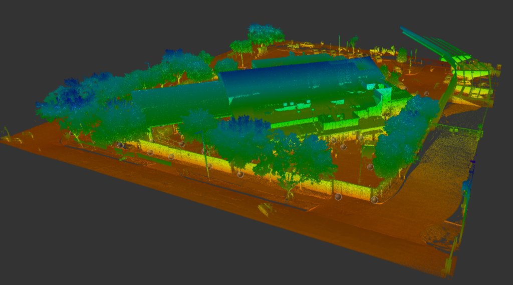
We use professional-grade equipment such as the Leica RTC360, Leica P-Series, NavVis VLX and drone-based LiDAR systems which are calibrated annually and have defined quality standards.
3. Quality assurance and project oversight
Every project follows structured QA/QC procedures and has a dedicated point of contact from start to finish.
4. Transparent pricing
We provide fixed-fee pricing reducing financial surprises and easing project planning.
Explore our 3D Laser Scanning Cost Guide
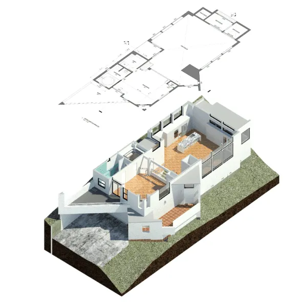
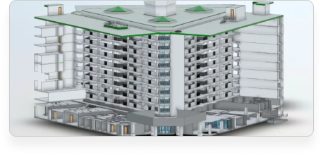
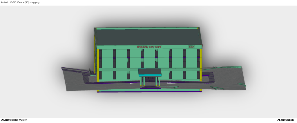
5. Deliverables and Compatibility
Our deliverables are customised as per your team’s needs, so whether you need:
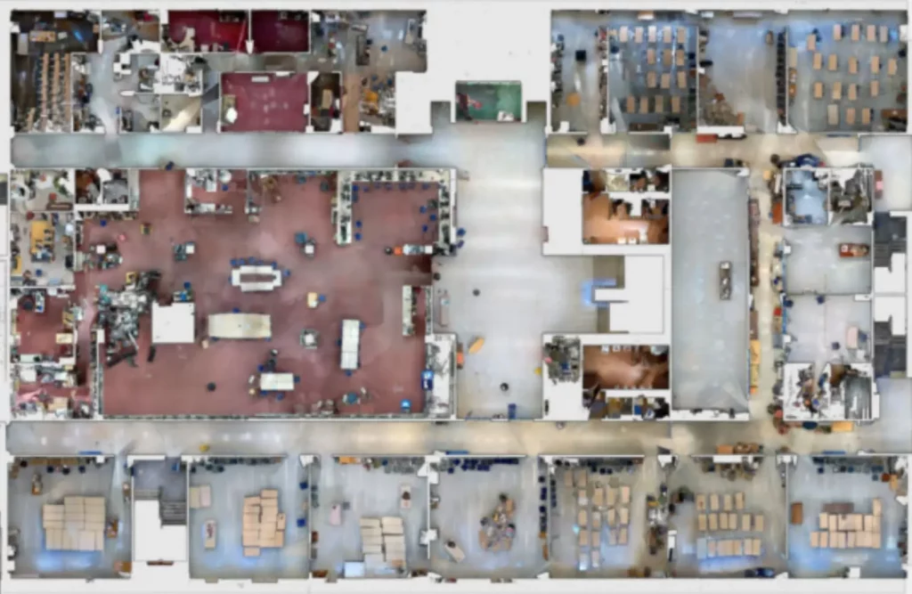
- Point Clouds: Autodesk Recap, E57, PTS, LAS and many more
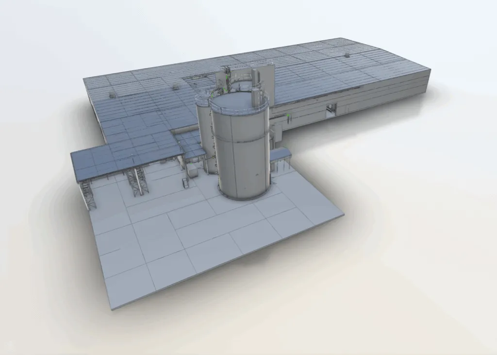
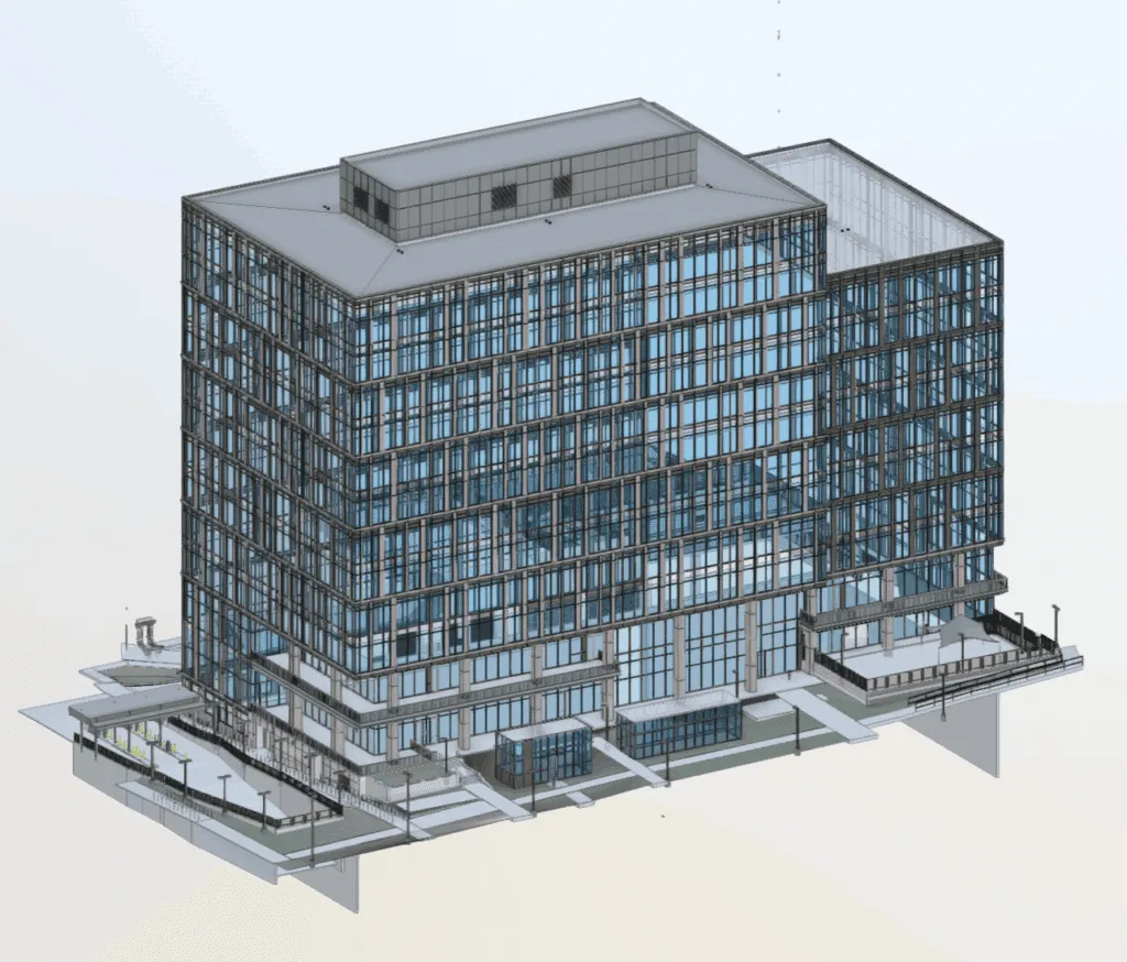
- CAD Models: 3D Revit, AutoCAD, STEP, IGES, DWG, Solidworks and more
- Mesh Models: STL, OBJ, FBX
If you require additional deliverables or file formats, let us know and our team can accommodate your requirements.