360-degree panoramic images

You can obtain panoramic imagery through our 3D scanning services. Our long-range lidar scanners are equipped with built-in cameras that can capture a 360-degree panoramic image with each 3D scan. These images allow you to place yourself in the position of the scanner and view the site in all directions. These can be very beneficial when engineering a project that is a distance away, giving you the ability to return to the site “virtually” to recollect what was there. These panoramic images can be viewed using free viewers that are available for download on the internet. These viewers include: 

Leica TruView
Autodesk ReCap

There are other ways besides 3D scanning to obtain panoramic images, but panoramic images taken with a 3D scanner have a big advantage over conventional panoramic images, in that they can contain depth information. That makes it possible to take measurements within the images, inspect coordinates and add markups, and even include 3D models as augmented reality objects within the imagery.

Virtual Site Walkthrough

Panoramic images can be viewed with the ability to jump from image to image, providing the ability to “walk through” a plant. But these are not just 3D photos; because they are based on a scan, you can do things like take measurements and place labels on objects in the images at a precise point in space. This is very handy for companies who want to document things like tag numbers of equipment. This entire platform can be accessed over the web, so that no software need be installed on the user’s computer other than a web browser. 

drone 3d model

Photogrammetry

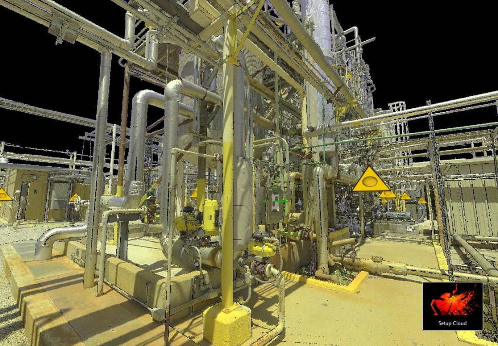
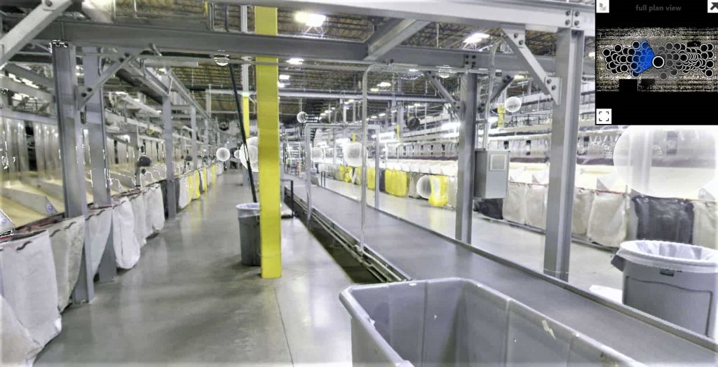
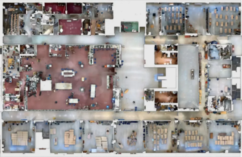
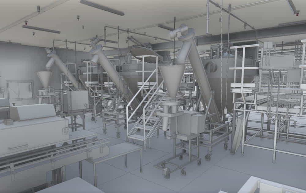
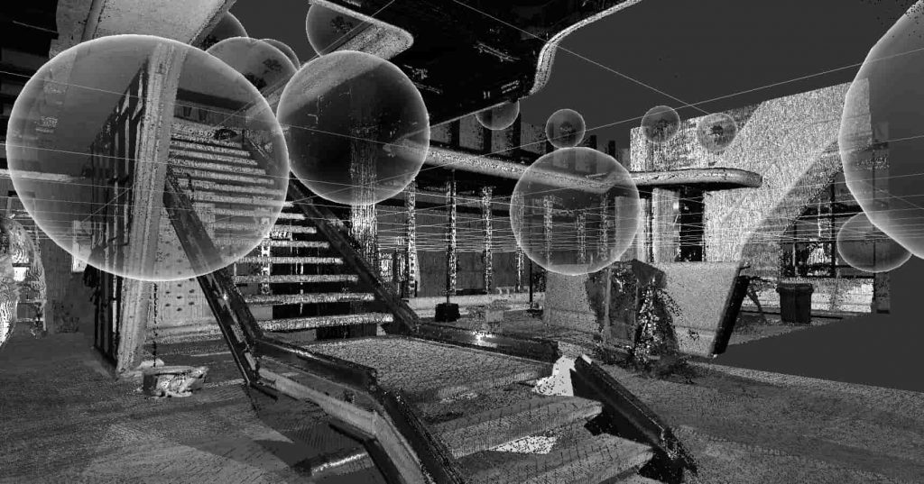
For certain applications, the photos can serve a dual purpose. In addition to providing very high quality imagery for reference, the photos can be used to construct a 3D point cloud. This is a type of scanning that we can do using terrestrial or aerial photography. It works great for certain situations, but if high detail is required, a laser scanner is often needed. We can combine both technologies as well. For example, we can use drone imagery to provide a 3D model of a tank containment dike, and use the terrestrial 3D scanner for capturing the tank itself and connected piping. 

Capture panoramic photographs of your facility using our rapid 3D capture process. 

Get A Free Quote

  • Hidden
  • Drop files here or
    Max. file size: 256 MB, Max. files: 10.
    • This field is for validation purposes and should be left unchanged.