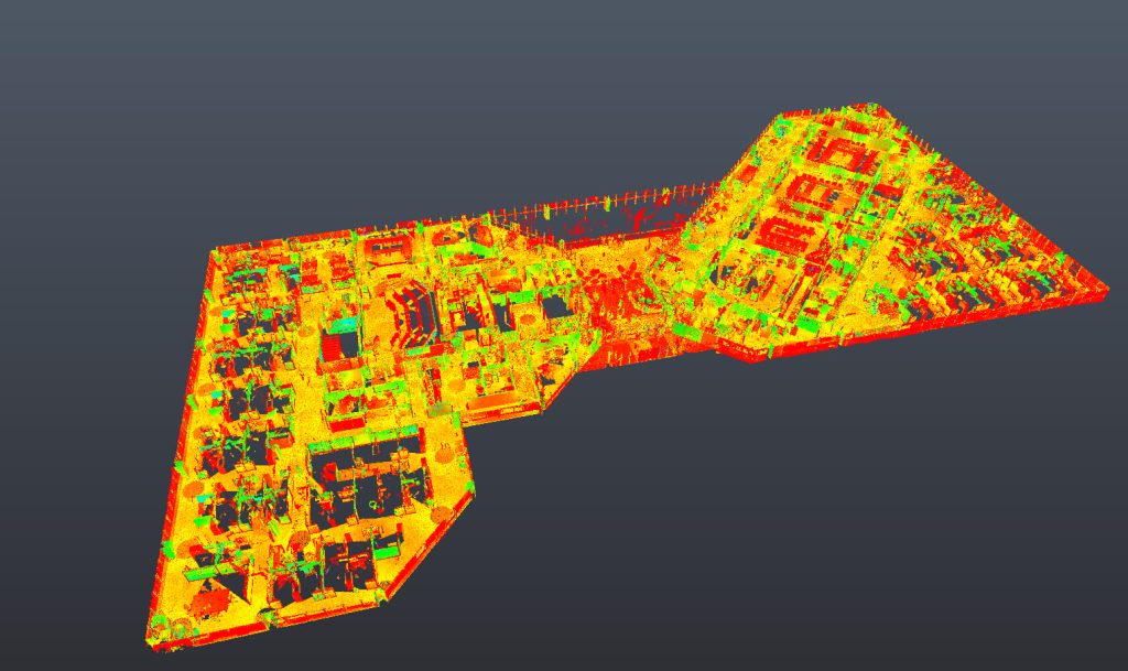
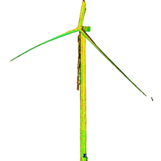
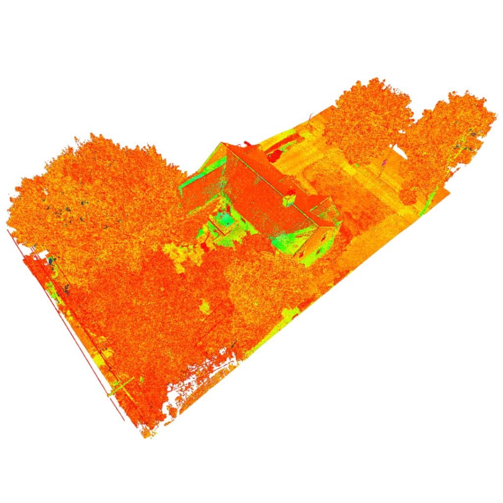
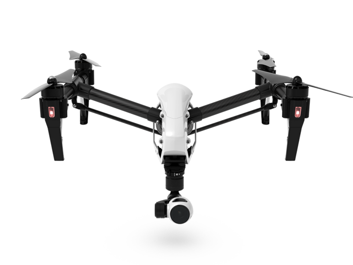
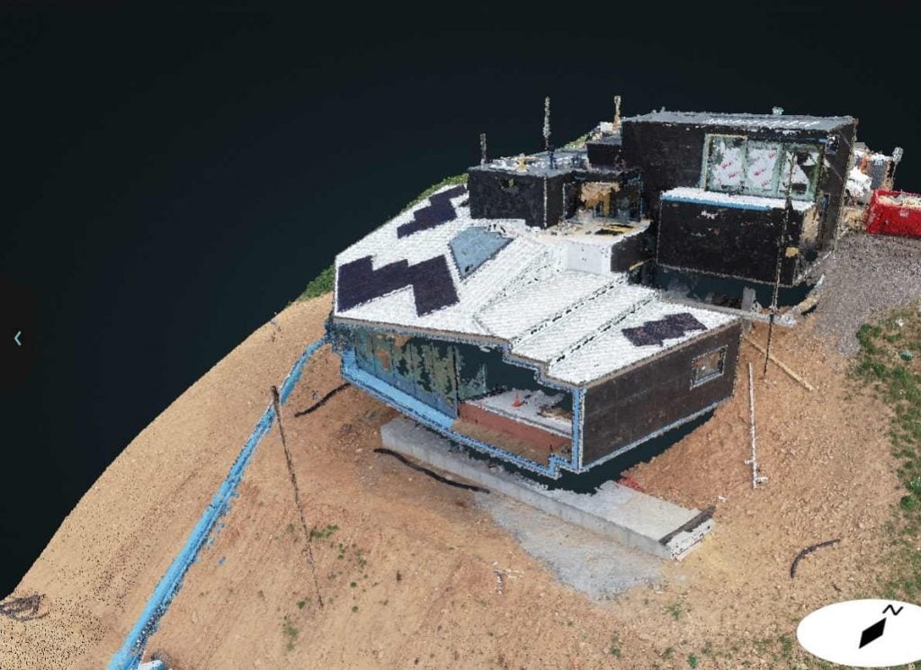
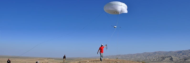
In the past few years, drones have become more and more a part of our daily lives. What was surprising to us was the possible applications that they could provide to 3D scanning on a large scale. Aerial scanning utilizing drones/UAVs provides the possibility to capture data in dangerous and/or hard to reach places, while offering an excellent cost-to-benefit-ratio for numerous applications: precision farming, forestry, mining, aerial facility views, and more. The DJI Inspire 1 enables us to can capture images like never before. With just one flight from the drone, we can produce an impressive amount of data:
Contact us today for a consultation and find out how Arrival3D can bring the accuracy and cost-saving benefits of 3D laser scanning to your project.
"*" indicates required fields
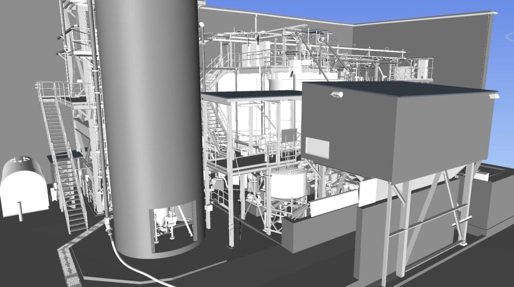
Aerial Drone 3D laser scanning scanning is fast and painless. We use state-of-the-art laser scanning drones to capture enormous amounts of data, which we then process to prepare it for CAD modeling. This processing includes:
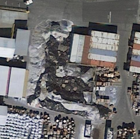
Using our drone service, you can vastly reduce the time spent collecting accurate data. By acquiring raster data from the sky, in the form of geo-referenced digital aerial images, we can gather millions of data points in one short flight.
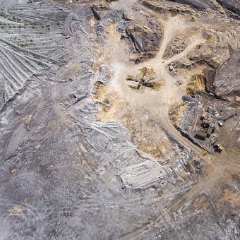
Staff safety is also improved by minimizing risk to surveying teams when measuring sites such as mines, unstable slopes and transportation routes. Our drone-based data collection can also boost productivity. Surveying projects that used to take days or weeks using older surveying techniques are now possible in just a few hours.
Of course, in addition to using drones for 3D scanning and measurement, we can capture aerial photographs and video of the site. Modern drones com equipped with image stabilization gimbals and very high resolution cameras, so you can expect high quality photographs and videos even from small drones. Arrival 3D has 3 drone pilots that are ready to serve your drone imageery and scanning needs.
The practice of gathering and measuring data on a phenomena or an...

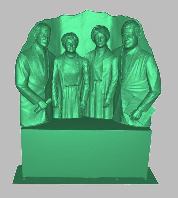
3D laser scanning technology is benefiting the healthcare business, providing novel solutions...

The concept of a digital twin is not new, despite the geospatial...
Here we discuss five digital twin options that you can choose from,...
In February of 2023, pilots reported an unidentified object in US airspace. ...

Recently, Oxford Robotics Institute partnered with the Sheldonian Theatre and Hilti, a...