The practice of gathering and measuring data on a phenomenon or an item of interest is known as data acquisition. Depending on the project’s aim, scope, and complexity, various approaches and techniques can be used to collect data. In land surveying and data acquisition, professionals rely on accurate measurement techniques to ensure precision in construction, infrastructure, and facility management. Traditionally, classic field surveys have been the standard, but with advancements in technology, laser scanning for surveying has emerged as a powerful alternative.
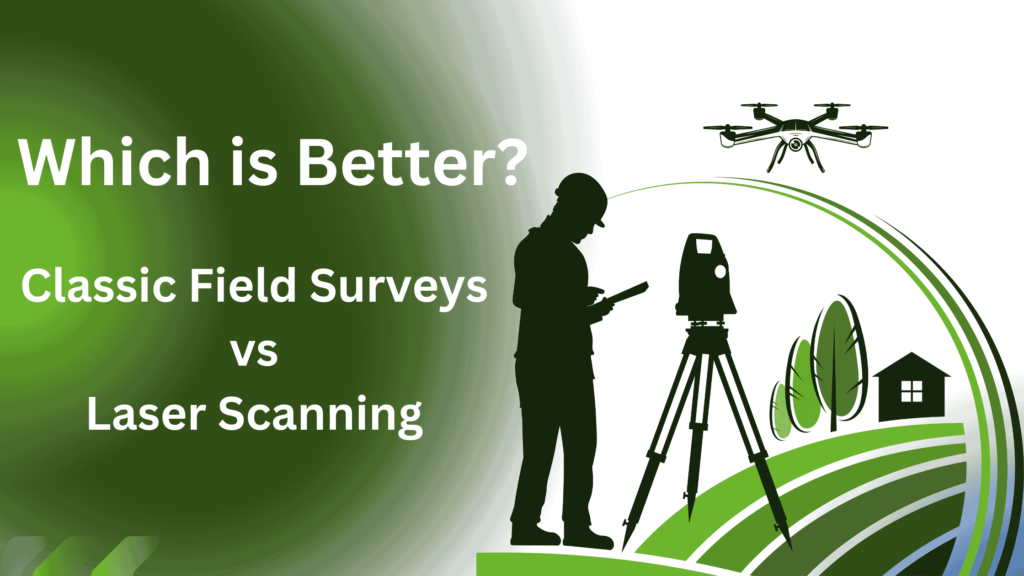
This blog compares classic field surveys vs. laser scanning, analyzing their benefits, drawbacks, and best-use cases, and providing examples of their applications.
Understanding Classic Field Surveys
What are Classic Field Surveys?
Classic field surveys refer to traditional land surveying techniques that rely on manual data collection using instruments such as total stations, GPS, and leveling tools. These methods require surveyors to physically take measurements at the site, recording elevations, distances, and other key data points. Classic field surveys are data acquisition methods that involve direct measurements of distances, angles, elevations, and coordinates using various instruments and tools.
Methods & Tools Used
Some of the instruments and tools used in classic field surveys are:
- Total Station: A device that combines an electronic theodolite (a telescope that measures horizontal and vertical angles) and an electronic distance meter (a device that measures distances using infrared or laser light). A total station can measure the position of a point relative to a known reference point or a coordinate system.
- Tape Measure: A flexible ruler that can measure linear distances between two points.
- Levelling Instruments: A device that can measure the difference in elevation between two points using a bubble or a laser beam.
- Compass: A device that can measure the direction of a point relative to the magnetic north or a reference direction.
- GPS (Global Positioning System): A system that uses satellites to determine the position, velocity, and time of a receiver on the ground.
Classic field surveys can be performed by one or more surveyors who use these instruments and tools to measure and record the data manually or electronically. The data can then be processed and analyzed using software or mathematical methods to produce maps, plans, reports, etc.
Benefits and Drawbacks of Classic Field Surveys
Classic field surveys have some benefits and drawbacks compared to laser scanning. Some of them are:
Benefits:
- Classic field surveys are more accurate and reliable than laser scanning for measuring small distances and angles.
- Classic field surveys are more suitable for measuring points that are not visible from one position, such as underground features or hidden corners.
- Classic field surveys are less affected by environmental conditions, such as dust, fog, rain, or sunlight, than laser scanning.
- Classic field surveys are less expensive than laser scanning in terms of equipment cost and maintenance.
Drawbacks:
- Classic field surveys are more time-consuming and labor-intensive than laser scanning, as they require more manual measurements and calculations.
- Classic field surveys are more prone to human errors and inconsistencies than laser scanning, as they depend on the skill and judgment of the surveyors.
- Classic field surveys are more limited in the amount and type of data they can collect than laser scanning, as they can only measure discrete points and not the entire surface or volume of an object or scene.
Get a comprehensive step-by-step guide to ensure accurate, efficient, and high-quality 3D scans for your next project.
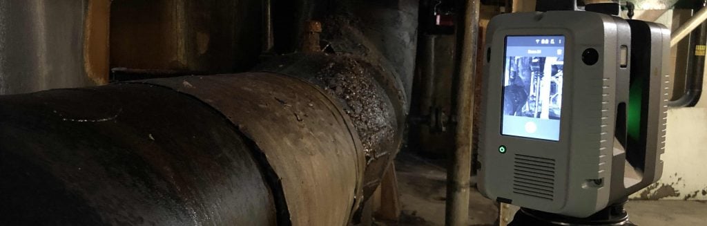
Understanding Laser Scanning for Surveying
What is Laser Scanning?
Laser scanning, also known as 3D laser scanning, is a non-contact data acquisition method that captures highly accurate spatial data using LiDAR (Light Detection and Ranging) technology. This process generates high-resolution 3D point clouds, creating precise digital models of physical structures and landscapes.
Laser scanning involves projecting a laser beam onto an object or scene and measuring the distance between the scanner and the target using one of two methods:
- Time-of-flight technique – Measures the time taken for the laser beam to reflect back.
- Phase-shift method – Detects phase shifts in the returning beam to calculate distance.
Additionally, laser scanners can capture the intensity or color of the reflected beam, further enhancing the accuracy of 3D point cloud data. By systematically sweeping the laser beam across the environment using rotating mirrors or scanner movement, thousands to millions of data points with XYZ coordinates and intensity values are collected, forming a comprehensive 3D representation of the object or scene.
Want to Know Which 3D Laser Scanners & Software Arrival 3D Uses for Client Projects?
Depending on the range, precision, resolution, and speed required, a variety of scanners can be used for laser scanning. Some of the types of scanners are:
- Terrestrial Laser Scanner: A scanner placed on a tripod or a vehicle that scans objects or sceneries from a stationary or movable location on the ground. Terrestrial laser scanners have ranges that can be short (up to 100 m), medium (up to 500 m), or long (up to several kilometers).
- Airborne Laser Scanner: A scanner that is mounted on an aircraft or a drone and scans objects or scenes from above. Airborne laser scanners are also known as lidar (light detection and ranging) scanners. Airborne laser scanners can cover large areas with high speed and resolution.
- Handheld Laser Scanner: A scanner that is held by an operator and moves about to scan items or sceneries. Handheld laser scanners are portable and simple to use, but their accuracy and resolution are lower than those of other types of scanners.
Laser scanning can provide high-quality 3D data, which may then be processed and analyzed using software to create 3D models, maps, orthophotos, digital elevation models, and so on.
Learn More About 3D Laser Scanning & How It Works!
Enhance Accuracy | Save Time | Optimize Workflows
Benefits and Drawbacks of Laser Scanning
Laser scanning has some benefits and drawbacks compared to classic field surveys. Some of them are:
Benefits:
- Laser scanning is faster and more efficient than classic field surveys, as it can capture large amounts of data in a short time and with minimal human intervention.
- Laser scanning is more accurate and consistent than classic field surveys for measuring large distances and complex shapes.
- Laser scanning is more versatile and flexible than classic field surveys, as it can measure any object or scene that is visible from the scanner’s position, regardless of its size, shape, or material.
- Laser scanning is more comprehensive and detailed than classic field surveys, as it can capture the entire surface or volume of an object or scene with high resolution and
density.
Drawbacks:
- Laser scanning is less accurate and reliable than classic field surveys for measuring small distances and angles, as it is affected by the beam divergence, noise, and occlusion.
- Laser scanning is less suitable for measuring points that are not visible from one position, such as underground features or hidden corners, as it requires multiple scans from different angles or positions to cover the whole object or scene.
- Laser scanning is more affected by environmental conditions, such as dust, fog, rain, or sunlight, than classic field surveys, as they can reduce the quality and accuracy of the data.
- Laser scanning is more expensive than classic field surveys in terms of equipment cost and maintenance, as it requires specialized devices and software.
Download Our 3D Laser Scanning Checklist!
Classic Field Surveys vs. Laser Scanning: Key Differences
| Factor | Classic Field Surveys | Laser Scanning |
|---|---|---|
| Accuracy | High but prone to human error | Extremely high with minimal errors |
| Time Efficiency | Slower, manual process | Rapid data capture |
| Cost | Lower initial cost but higher labor costs | Higher upfront investment but lower field labor costs |
| Data Density | Limited data points | Dense 3D point clouds with detailed spatial data |
| Best For | Small projects, boundary surveys | Large-scale, complex structures, and BIM integration |
Choosing the Right Data Acquisition Method
When deciding between classic field surveys vs. laser scanning, consider the following:
- Project Size – Classic surveys work well for small sites, while laser scanning is optimal for complex structures and large areas.
- Budget Constraints – Classic surveys have a lower cost but require more field labor, while laser scanning is an upfront investment with long-term savings.
- Data Requirements – If you need high-density, 3D spatial data, laser scanning is the better choice.
- Technology Integration – For BIM workflows, facility management, and digital twins, 3D laser scanning is the preferred solution.
Examples of Applications
Classic field surveys and laser scanning can be applied in various fields and industries that require data acquisition. Some of the examples are:
Surveying:
- Classic Field Surveys – Used for measuring property boundaries, creating cadastral and topographic maps, and defining land features.
- Laser Scanning – Detailed measurements of structures such as buildings, bridges, tunnels, and monuments.
Engineering:
- Classic Field Surveys –Used for planning and construction of infrastructure projects, including roads, railways, pipelines, and dams.
- Laser Scanning – Lidar scanning provides high-precision data for inspecting structures, detecting deformations, and monitoring cracks.
Archaeology:
- Classic Field Surveys – Surveys help map archaeological sites, artifacts, and burial sites,
- Laser Scanning – Creating 3D models and reconstructions of archaeological objects and historic sites.
Forestry:
- Classic Field Surveys – Field surveys are used to measure tree height, diameter, and volume.
- Laser Scanning – Estimating forest biomass, analyzing canopy structures, and assessing carbon sequestration.
Mining:
- Classic Field Surveys – Classic surveys measure ore deposits, mine shafts, and tunnels.
- Laser Scanning – Assessing mine safety, stability, and productivity through detailed 3D mapping.
Future of Data Acquisition in Surveying
Laser scanning and LiDAR technology are becoming increasingly prevalent in construction documentation, site analysis, and infrastructure planning. The integration of 3D scanning with BIM and geospatial analytics is reshaping how professionals collect and utilize data for improved accuracy and efficiency.
Conclusion
Data acquisition is crucial for providing accurate and insightful information for a variety of applications. By understanding the strengths and limitations of both classic field surveys and laser scanning, professionals can make informed decisions on the best method to use. While traditional methods remain relevant for specific applications, 3D long-range scanning services a and Scan to BIM services are paving the way for faster, more precise, and more efficient data collection in the modern era.
Need high-precision data for your next project? Contact us today to learn how laser scanning can optimize your surveying needs!