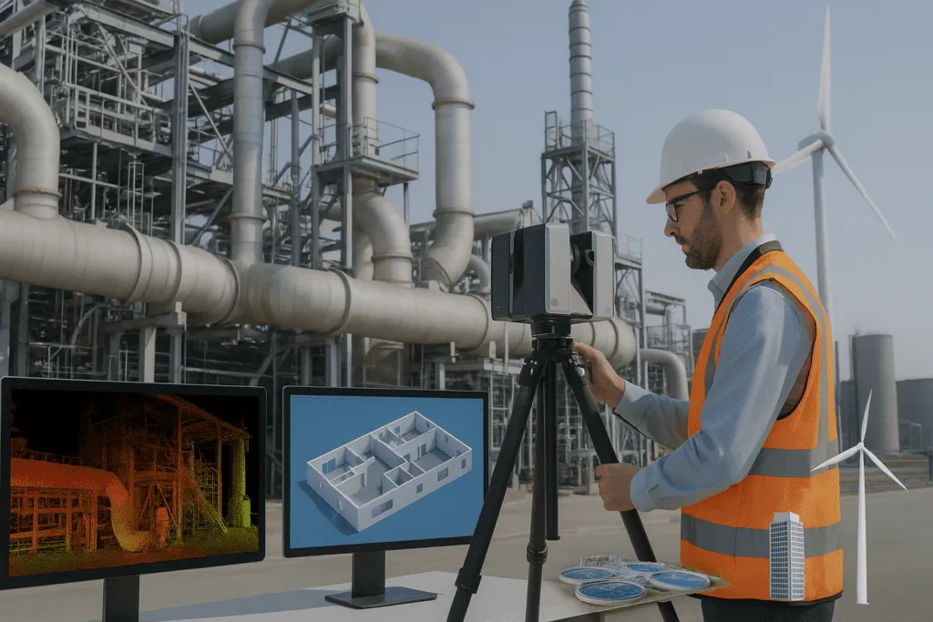
LiDAR (Light Detection and Ranging) is a technique used by laser scanners to collect millions of data points by measuring distances. These points combine to produce a point cloud which provides a realistic 3D picture of a site or structure.
During surveying, it helps in the quick and accurate mapping of terrain and structures whereas in construction used to measure progress, clash detection and generate as-built models. These tools reduce manual labour and save time by capturing minute details. Therefore laser scanning helps in design, planning and renovation by delivering trustworthy data throughout the project’s lifecycle.
yes
Step 1 – Plan the scan
Define the scope of what you need to capture and choose a suitable scanner depending on the project size and precision required. At this stage, working with professionals like Arrival 3D can help in selecting the right equipment and software to process and visualize the data efficiently.
Step 2 – Setup and Capture
Place the scanner on a solid base and ensure it is calibrated properly. To collect the data, terrestrial scanners must be moved and repositioned at various locations while mobile scanners can gather data in motion. Make sure to scan from different vantage points, particularly in concealed areas to ensure complete coverage.
Step 3 – Scan the Site
Capture data by moving the scanner about or shifting it to different vantage points, particularly in concealed locations to ensure complete coverage. The generated point cloud will contain millions of spatial data points that define the geometry and structure of the scanned region.
Step 4 – Process and Convert
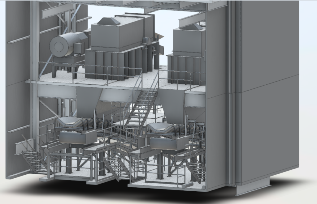
After the scan is finished, you will have a detailed point cloud containing millions of spatial data points. However, point clouds alone can be difficult to read particularly for non-technical users. Therefore, they are frequently turned into Scan to BIM for more practical use in design, engineering and construction documentation.


Point cloud to BIM integration involves turning raw 3D scan data into a Building Information Model (BIM) improves building project accuracy and efficiency by delivering detailed dependable digital models.
Industries are rapidly adopting 3D laser scanning in construction due to its multiple benefits including enhanced quality, precision and cost savings. New technologies such as high-definition scanning, real-time processing and AI integration are rising and transforming the way we approach structural analysis, infrastructure planning and maintenance.
Arrival 3D stands apart in the market for top-tier 3D scanning services with over 20 years of expertise providing world-class 3D scanning solutions that surpass the competition. Their professional team uses cutting-edge LiDAR technology to provide high-precision services in areas such as real estate, construction, architecture, engineering and manufacturing.
Whether it’s acquiring precise spatial data, analyzing point clouds or producing digital twins, they ensure better project planning and execution with Revit models and affordable pricing. Contact them to improve your project scanning, CAD modeling and field-to-finish project handling.