CASE STUDY: 3D Scan Large Home in Lake Arrowhead, CA.
Arrival 3D are tasked with the 3D Scanning of this larger residence for the purposes of “As built” documentation to facilitate changes & additions.
Arrival 3D are tasked with the 3D Scanning of this larger residence for the purposes of “As built” documentation to facilitate changes & additions.
3D Laser Scanning in Lake Arrowhead, CA: Our client, an established property development company, have plans to further enhance this property with a variety of additions. The starting point is to document the existing structure via 3D Scan Data, which is where Arrival 3D bring value.
The resulting Scan Data, a “point cloud” comprising millions of points of data, can be utilized as is for both measurement and spatial planning, or the data can form the basis of an accurate, geometric CAD model. Arrival 3D routinely provide to clients both point cloud, and Revit CAD models.
This particular property was scanned throughout the exterior and gardens, and a Revit CAD model was developed from the registered scan data for the client. The Arrival 3D data collection process takes only a few hours onsite, the equipment is compact and clean, and we require only easy access to the property. You will see the Leica RTC360 positioned at the entrance to the garage in the accompanying image.
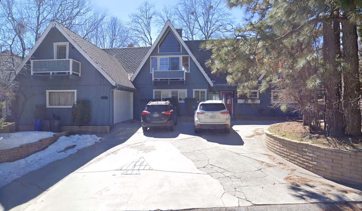
The residential Lake Arrowhead, CA property to be scanned..
Lake Arrowhead, CA.
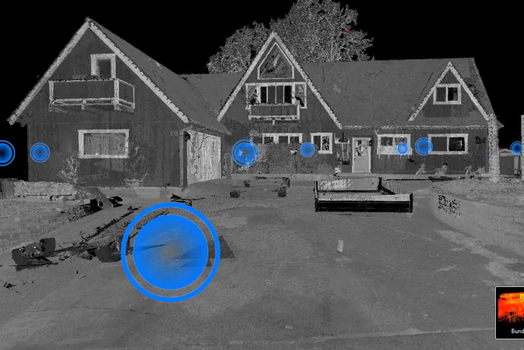
Above, the 3D Laser Scanned exterior of the Lake Arrowhead, CA home pictured top, this time in greyscale point cloud format.
Arrival 3D have a large inventory of 3D Scanners suited to a variety of tasks. Our most recent acquisitions, and currently our favored multi-tasking 3D Scanners, are our Leica RTC360’s. Arrival 3D now have several Leica RTC-360’s positioned strategically around the United States. We use the RTC360’s frequently due to their great versatility; portable size, long range accuracy and rapid scanning capability.
3D Laser Scanning Large Home in Lake Arrowhead, CA.
Our client chose, in this case, to receive a Unified RCS (RCP) with Viewing Spheres. This file type comprises the combined points from several scans into a single, registered point cloud. The data represents a full 3D image of the subject which can be navigated through, which can provide measurements and angles, and which includes the images created at each of the scan positions, referred to as “Viewing Bubbles”.
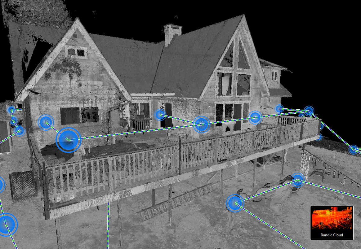
Above, the 3D Laser Scanned exterior of the Lake Arrowhead, CA house viewed from the registered point cloud..
Arrival 3D have in the past been called upon to scan architectural projects where the client had attempted, unsuccessfully, to take manual measurements of the area they have intended to change. Later, having spent a great deal of time & money, and having constructed sub-assemblies that won’t fit, Arrival 3D have been called upon to 3D Scan and document the areas in question. Rarely do existing architectural structures have existing, or accurate, blueprints. Furthermore, existing structures can subtly change dimensionally over time from their built condition, for countless reasons.
Arrival 3D are equipped and able to rapidly document existing conditions, provide that data to our clients in a multitude of formats, and ultimately save our clients time, trouble and valuable funding in documenting the reality of projects presented to us. The peace of mind that is inherent with a digital representation of a project is priceless and the ability to share this accurate data with the entire team instantly, and often remotely, is one of the wonderful benefits that these technologies allow us today.
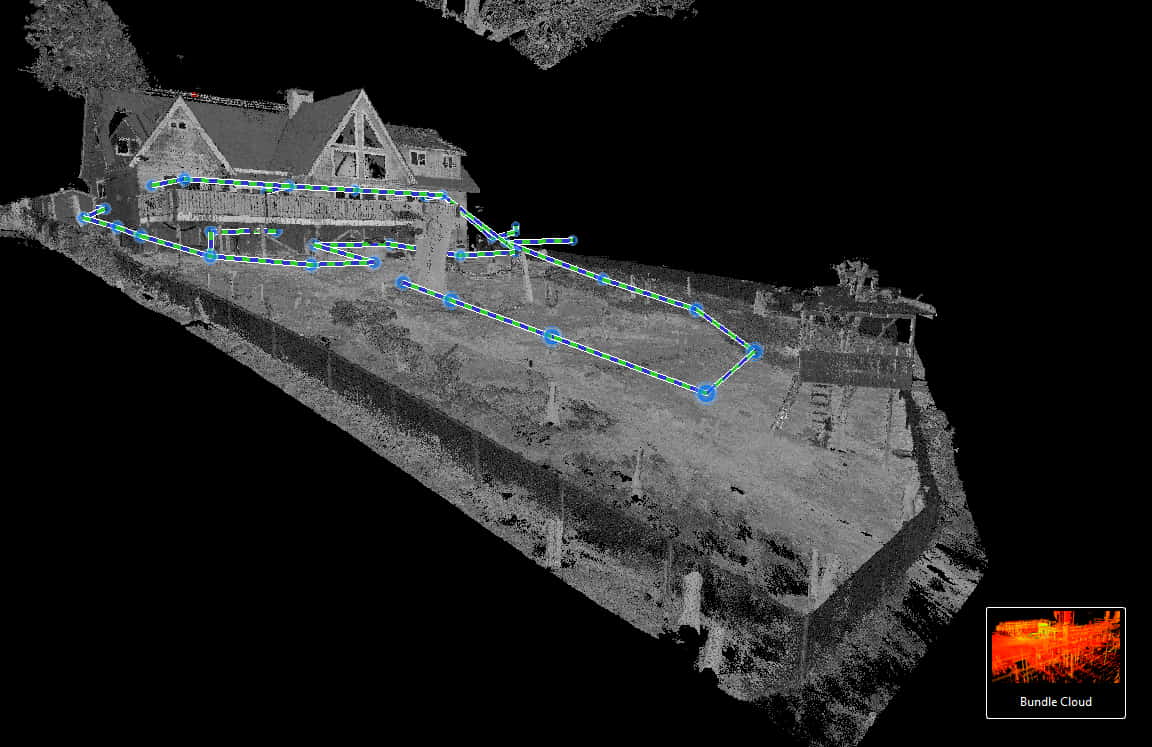
Above, an image in greyscale point cloud of the rear gardens of our residence. The spheres highlighted blue, represent the scan positions or “Viewing Spheres”. Vegetation has been largely removed from the point cloud to assist with modeling.
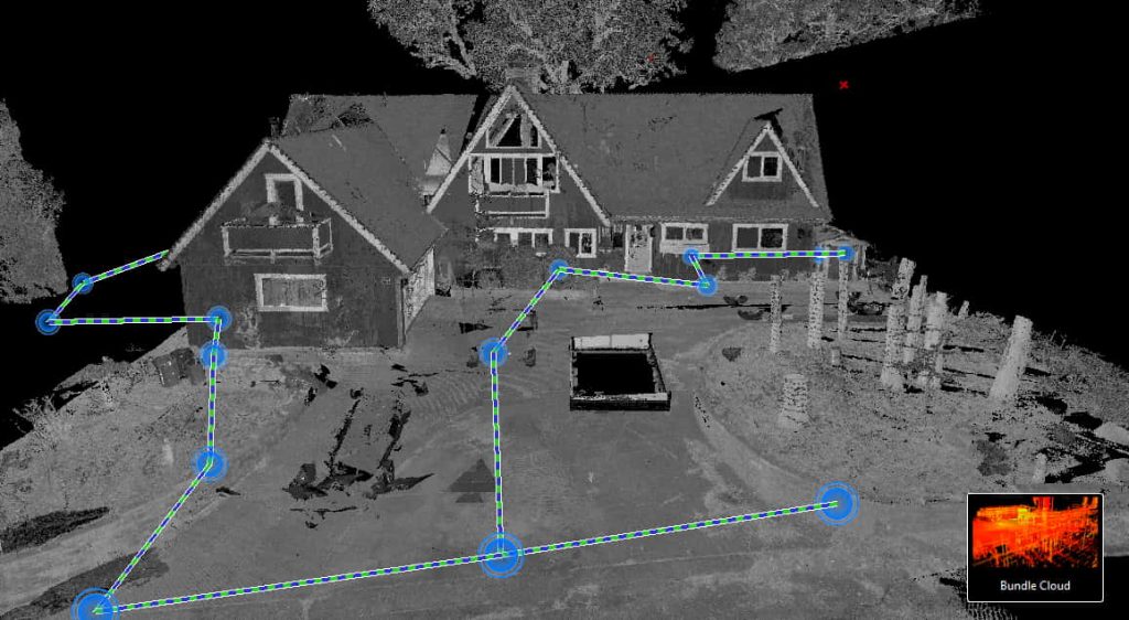
A view of the 3D Laser Scan Point Cloud of this Lake Arrowhead home from the Point Cloud toward the front of the house, once again with most vegetation removed to assist with modeling.