Scanning Hong Kong’s Caverns
Hong Kong’s strategic caverns can succeed with the help of 3D laser scanning services. The goal of this is to ease the use of land supply by creating caverns below. Each cavern will be burrowed in the side of hills and other areas that can help create sustainable communities in the future. This is a great idea, but to plan something so massive, they will need to adopt 3D laser scanning services for the best results.
These caverns can help hold sewage systems, government departments, logistical centers, warehousing, and storage departments. The caverns built into the side of hills could have so many future uses, but this big project needs bold thinkers to get it done safely, quickly, and efficiently. 3D laser scanning services can help for various reasons and make this thought a real possibility.
Subterranean construction can cost three times more than what it would cost on the surface. Not to mention all of the obstacles a team may face when trying to construct these caverns. 3D laser scanning services can help avoid these obstacles and limit the problems while building this plan. It can also be the best way to survey the area to ensure the land is suitable for the idea. Not all hills or mountains can be used for caverns. Here are five reasons why 3D laser scanning services can help make this idea a reality.
Five ways 3D laser scanning services can help Hong Kong
Once you start to learn about 3D laser scanning services, you will understand why this is the best technology any team could use to pursue this project. This cutting-edge technology is one of the best for land surveys and more. Take a look at these five reasons this technology is perfect for this project.
Geological Modeling
Instead of trying to create a model by hand with a layout, this technology allows for a team to create 3D modeling. They will be able to understand all geological conditions of each site where a potential cavern could be. With this high-tech equipment, they will get real-time data they can use.
GIS for blasting assessment
GIS stands for the geographic information system. It will provide accurate 3D visualizations of how a blast could go and affect the surrounding area. This is a crucial step in creating the caverns without harming the land.
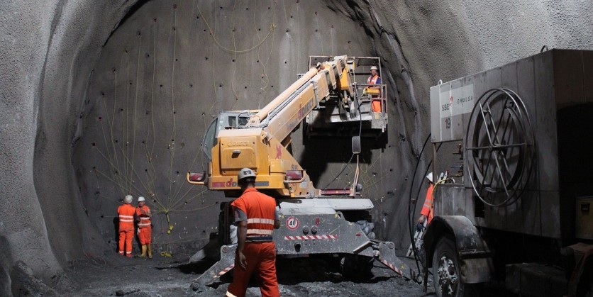
Excavations
3D laser scanning the excavations once the blasting has occurred can help create a map of the caverns before it is in place properly.
Rock mapping
Digital rock mapping can be particularly useful when building a cavern underground. Geologists can use this technology to record different minerals, materials, and much more. Most of this information would typically be recorded with pen and paper.
Field surveys
Once it is completed, this is another way for technology to gather information, upload the data where stakeholders can see it, and share it with the entire team. It makes sharing space and progress easier than ever before.