The use of drones in the past few years has exploded with a lot of support and has offered a new avenue for 3D long range scanning. 3D drone image capturing has been used successfully in 3D long range scanning anything from stockpile job sites to the Christ The Redeemer statue in Rio, Brazil. With this development of drone image capturing, scanning, surveying, mapping and modeling is easier than ever.
The Full Package Drone
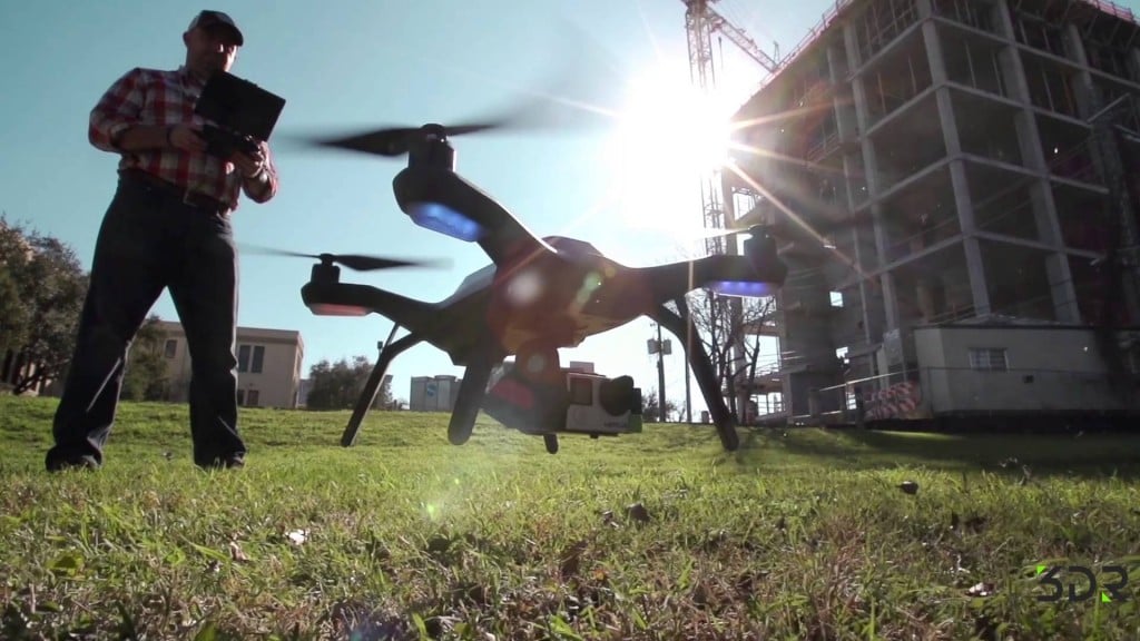
3D Robotics has recently teamed up with Autodesk and Sony to create a new UAV to cloud long range scanning drone and software. The new drone will be an advancement of 3D Robotics’ Solo Drone (pictured below)
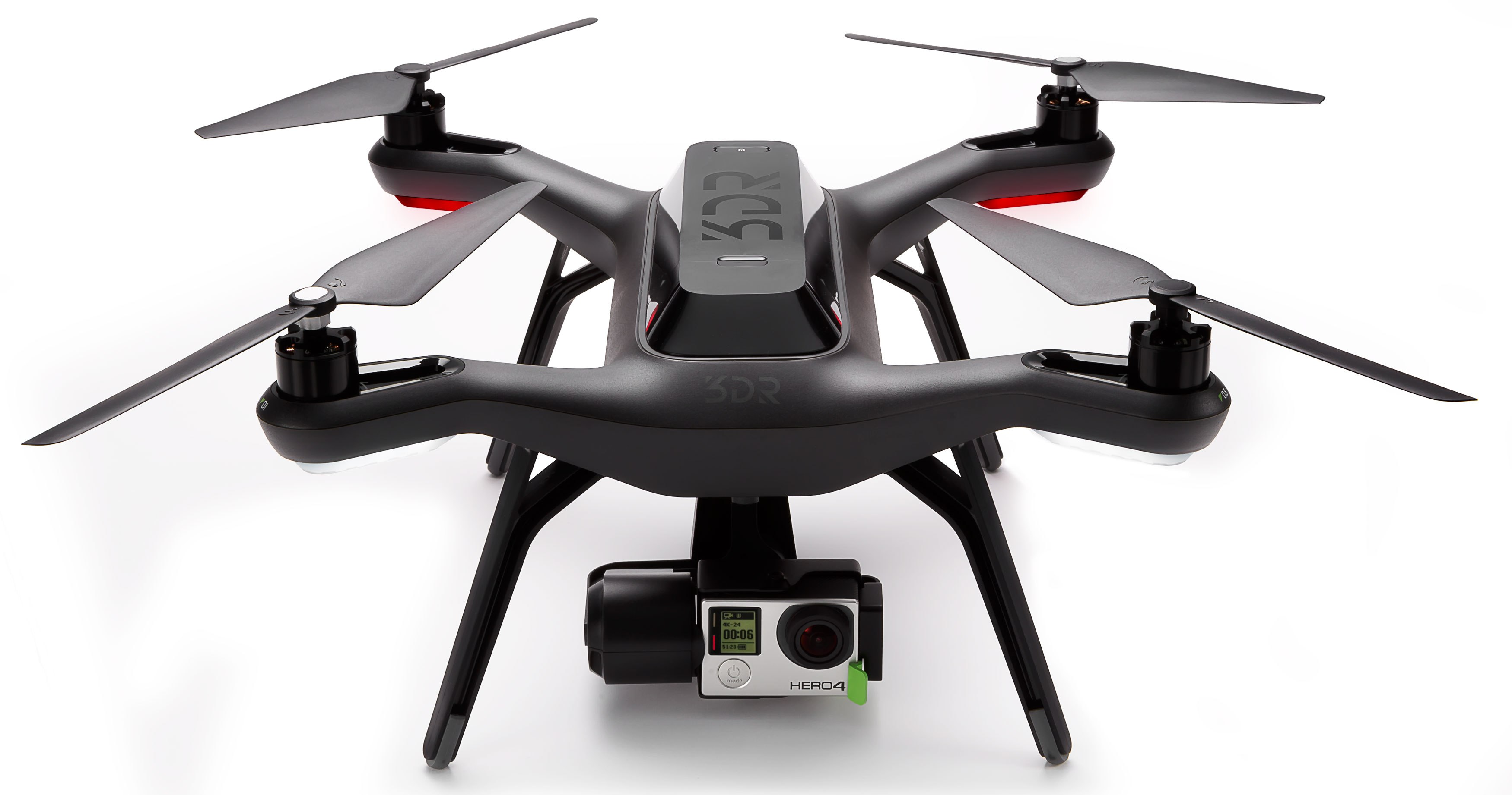
that can upload scan data to the could whilst in the air. Previously, 3D Robotics have used GoPros to capture the data in the air. This new drone will use Sony’s UMC-R10C camera for even more precise 3D measurements and higher quality image capturing.
Along with the upgraded camera, this new drone will be using Autodesk’s FORGE cloud platform including more of Autodesk’s cloud programs. With combination of these three components, this new drone makes it easier than ever to perform long range scans from the air with absolute ease. In the wake of this new development in drone long range scanning, other companies are sure to follow suit; due to the fact that aerial long range scanning offers many more advantages than ground surveys.
3D Robotics wants to even further the functionality and design of the new Solo drones with plans of incorporating multispectral and thermal cameras to offer even more versatility of sites the Solo will be able to scan. Be sure to keep an eye out for 3D Robotics and their new Solo drone.