3D Laser Scanning in Baltimore
World class 3D Laser scanning in Baltimore
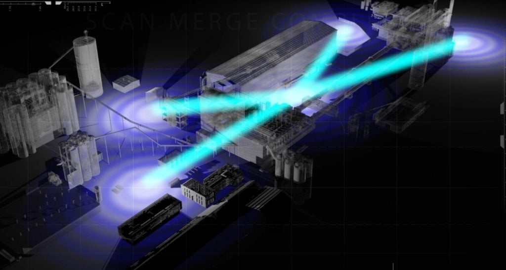
Capture your facility with incredible speed and accuracy and receive a CAD model.
Get A Free Quote
what CAN BE SCANNED USING 3D laser scanning in baltimore?
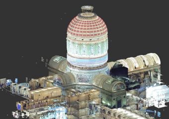
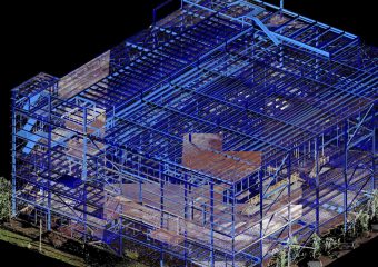
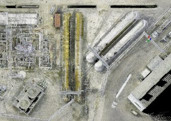
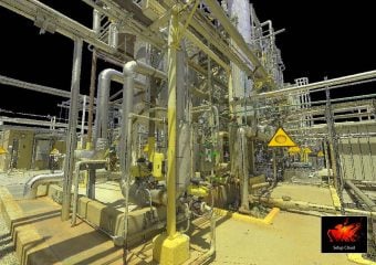
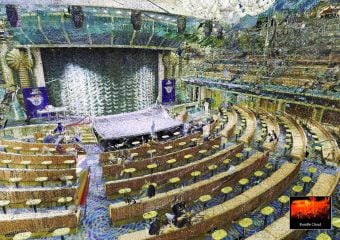
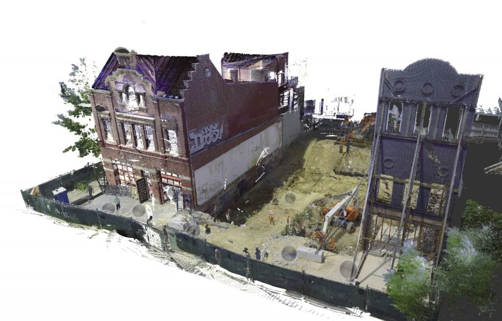
The extreme portability of our lidar 3d laser scanners allow reality capture of just about any scenario. Here is just a sample of the many environments we have scanned:


What can you get from baltimore 3D laser scanning services?
Several reality capture options are available to suit your needs and budget:
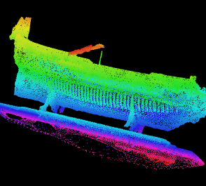
Option #1: raw Scan point cloud Files
Here, you get the raw point cloud files straight out of the scanner. This is the “do-it-yourself” option without having to obtain a scanner and do the work.
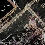
Option #2: Registered Scans
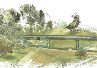
Here, you get a point cloud project that is fully registered. We carefully align the many scans taken, proviing you full color point clouds that are viewable in free or low-cost software such as Autodesk Recap where you can take spot measurements and view panoramic images. You can also import the point clouds CAD software such as Autodesk Revit and Navisworks.
Option #3: 3D CAD model
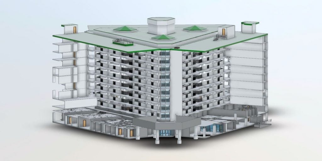
Here, we do all of the heavy lifting for you and you get a CAD model that can be opened directly within your CAD program such as AutoCAD, Revit, Navisworks, Solidworks and more. In addition, you also get the registered scan point cloud so you have the raw data for viewing, further processing and future use.
additional options
In addition to the standard packages, there are a number of options that can be requested, including:
Custom Alignment
If you need your scan or CAD model to be aligned to a plant coordinate system, specific survey monument points, state plane coordinates, or even aligned to a CAD drawing, we can make it happen.
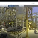
Panoramic images
Put yourself in the plant using beautiful, full color HD images that can be included with your 3D scan. They allow you to visit the facility from your desk, have a look around and explore the plant layout. You can even take spot measurements directly from the photos, check elevations, mark locations and leave comments for your colleagues. Free viewer included.
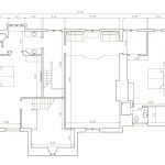
2D Plan and elevation drawings
2D drawings are a low-cost, natural byproduct of creating a 3D model using Revit. We can provide these as add-ons to your 3D CAD model. They are available in DWG, DXF or PDF format.
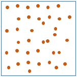
Unified point clouds
Often the biggest headache and worry about working with Baltimore 3d laser scans is the sheer size of the data. Large scans will bog down even the most powerful desktop workstations, let alone the typical computers that engineers have to work with. To help with this problem we can deliver the point cloud as a unified one, where all of the scans have been combined into one and the point spacing has been optimized to provide the minimum level of detail while minimizing file size.
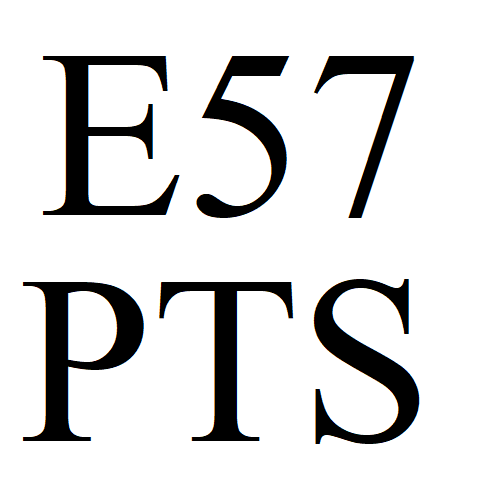
Export to generic standard formats
There are many different 3D laser scanner manufacturers, and they all use their own proprietary formats. But thankfully, for a small fee these scans can be converted into generic, neutral formats that can be imported into your favorite software. These formats include E57, PTS, XYZ and others.
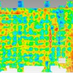
flatness or other inspection reports
You can compare the scan to perfect geometry and receive color map inspection reports such as floor flatness reports, tank roundness, tower straightness,
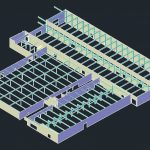
as-built or design-intent CAD modeling
In a perfect world, everything is flat, straight and plumb. But in reality, everything built is wavy, crooked and not quite level, to some small degree. The scanner picks up all of these flaws, so when receiving a CAD model from us, you can choose whether the model should reflect these flaws, making it an “as-built” model rather than a “design intent” model.
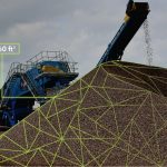
Volume Calculation
We can measure volumes of stockpiles, dike capacity, interior room air volume or any other custom volume or surface area calculation.
Why hire us for 3D scanning in baltimore?
- We cover the entire USA
- We use the latest digital twin 3D laser scanners
- Quality control and on-time delivery are paramount
- Your satisfaction is guaranteed
Want to learn more?
Read our 3D scanning FAQ's
read case studies
check out our learning center
