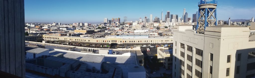
Smart Cities
The use of light detection and range (lidar) technology is expanding in various industries, including automotive, smart farming, smart industrial, surveying and mapping, and smart cities. The further our cities develop, the more they rely on lidar and 3D laser scanning services to create detailed construction plans.
In a smart city design, lidar enables the identification of vehicle kinds and the monitoring of speed, resulting in a better knowledge of traffic issues and increased road safety. 3D laser scanning services are now being implemented in Rüsselsheim, am Main, Germany.
The objective is to provide an Intelligent Infrastructure Solution that will establish a city-wide system for truck passage control. Rüsselsheim will deploy Velodyne’s lidar-based complete stack solution to monitor and report on trucks prohibited from operating on municipal streets to alleviate traffic congestion and air and noise pollution.
How 3D laser scanning services can help the municipal system
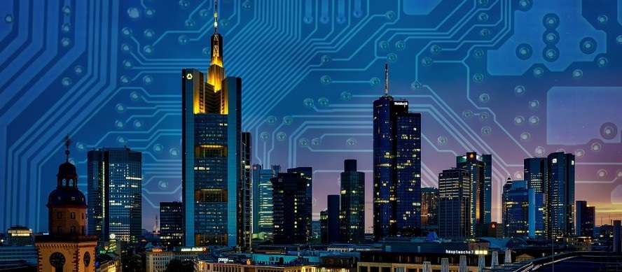
3D scanning services are a critical technology finding a place in developing smart city infrastructure. These sensors give spatial data resistance to low light situations while providing privacy safeguards. This means the sensors collect data on the city both during the day and at night, which the cameras are incapable of doing.
Apart from traffic monitoring, 3D laser scanning services may also be used to determine the whereabouts of pedestrians. It can count people at junctions, public parks, stadiums, and other hotspots across the city. Additionally, it can determine the position of any single person and the direction in which they are traveling.
This kind of information may be beneficial to police enforcement. Additionally, it can identify tiny animals on the road, resulting in safer streets for civilians while reducing traffic congestion and increasing parking alternatives. A laser scan can be suitable for public services and professionals who protect the city. Accurate layouts of the city allow trucks to use routes faster, and first responders can get around easier.