Saving a City From Sinking
Scientists are using 3D laser scanning services and digital mapping of San Giorgio Island to save the city from sinking.
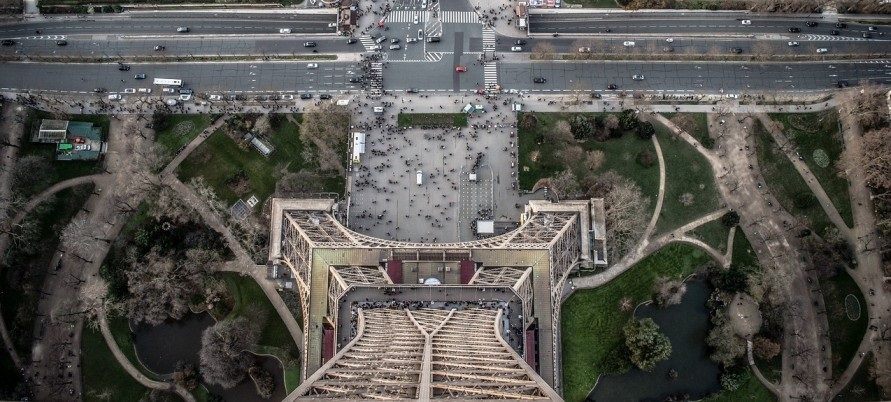
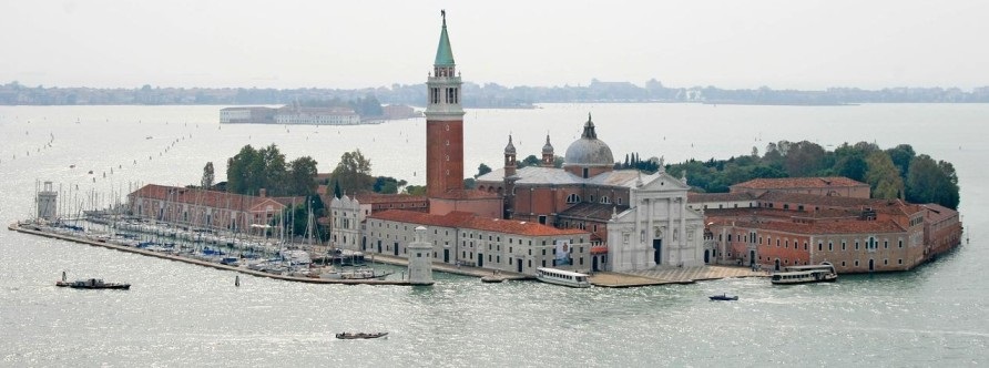
Venice’s Doge’s Palace offers stunning views of San Giorgio Island and its Fondazione Giorgio Cini, which houses an impressive collection of historical documents, rare books, and music and hosts important international conferences. In terms of scope and impact, it’s nearing the end of a monumental undertaking.
When Adam Lowe and his colleagues from the Factum Foundation, along with ARCHiVE, Iconem, and the École Polytechnique Fédérale de Lausanne (EPFL), completed a digital record of all its buildings, both indoors and out, this summer, San Giorgio now exists in the form of an avatar.
3D Laser Scanning Services in Action
LiDAR (light-detection and ranging) scanners have been used to measure the time it takes for a laser pulse to return from a target item. The light travels a certain distance and is plotted in a digital 3D scanning services environment based on that calculation.
The LiDAR has recorded inscriptions that cannot be read from the ground because they are located so high in the sky. When Factum has captured the roofs, grounds, and the critical interaction between the island’s surface and changes in water levels with a drone, it will have a complete picture.
What’s the point? The argument is that it will allow precise monitoring of the invasion of the Adriatic and the lagoon’s water levels and the damage they do to the island and its buildings. The IPCC (Intergovernmental Panel on Climate Change) anticipates this to be a fact, even if the specific levels it predicts vary depending on the environmental scenario.
Adam Lowe has a vision of scanning Venice and preserving it forever—at least in the form of 0 and 1 combinations.
On the other hand, it’s astonishing that the Italian government has no strategy for dealing with this problem, maybe due to widespread misunderstandings about the role played by mobile barriers that were successfully raised for the first time on July 10th and are expected to be finished in 2021.
Because the lagoon can only be blocked off from the sea for brief periods—as little as a few hours a month—these have only ever been intended to cope with short-term flooding. However, they are not a long-term solution to the problem of sea-level rise.
The nitty-gritty: scanning a Renaissance basilica
Shaded renders, like this one of Palladio’s church (which would otherwise appear as a grey square in the depth map), are created by converting the depth map into a rendered image of the data. With the LiDAR scanner, 3D laser scanning the church’s facade was captured in 30 minutes, while photogrammetry took three hours.
It took several days to process and merge the photogrammetry. We employed both LiDAR and photogrammetry in our project. Drone-based photogrammetry will eventually fill in the blanks in the roof’s polygons. Using a depth map, where the depth value is stored in each pixel on a two-dimensional image, one pixel per 400 microns (1/40th of a millimeter) was constructed.