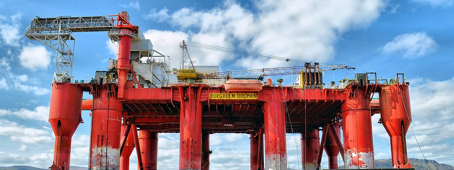
In large-scale infrastructure development projects like highways, rail networks, energy facilities, or bridges, precision is not just important, but it’s essential. These projects include financial investments, complex engineering, and have various responsibilities towards public safety and functionality. Incomplete or inaccurate site data can lead to devastating outcomes like loss of human life and massive cost overruns.
For Example, a minor miscalculation constructing a railway line can result in major accidents, service disruptions, and costly rework. Precision is very important in construction projects as there is a thin line between success and failure. Accurate measurements enhance the integrity of a project as they reduce the possibility of costly errors.
What are High-stakes projects?
McKinsey’s analysis on large-scale infrastructure projects focuses on the critical factors that categorize the projects as high-stakes, including significant capital investment and societal impacts. The large-scale projects are also characterized by their complexity, magnitude, and the change they bring about in society. These projects are distinguished by their scope and ambition, whether they include constructing a cross-country pipeline or an across-the-nation IT system.
These projects are not just “High-Stakes” for their sizes and costs, but because of their complexity and risks involved in them. They have multiple stakeholders, which include architects, engineers, contractors to government regulators, financial institutions, and community members. Each stakeholder has their own interests, expectations to handle.
Role of site data
Site data is the detailed information about the physical conditions of the location of a project. It also includes the data about the environmental and structural conditions of the site. Site data is like a bedrock on which the infrastructure projects are planned, designed, and executed. This data includes multiple subpoints like:
- Topographical and geographical information
- Subsurface utilities & underground infrastructure
- Soil & geotechnical characteristics
- Environmental features (floodplains, wetlands, protected habitats)
- Existing structures and conditions
The data collected from all these criteria is known as the site data for a specific project. This data enables precise planning, prevents errors, and supports compliance. Thus, this data is like the backbone of the project: the solid and error-proof this data is, the lower the chance of mistakes in the project.
Challenges in Traditional Measurement Methods
Traditional methods of measurement in construction come with multiple challenges, which can decrease the efficiency and speed of the project. These challenges revolve around the proneness of human error, lack of real-time data, and the time-consuming nature of manual methods.
The challenges are-
- The manual nature of measurement in construction leads to increased time consumption.
- Lack of real-time data in the conventional method of measurement leads to a delay in information and inaccuracy of data.
- The manual method of measurement often comes with human errors, which result in data inaccuracy.
Prevention Measures: Investing in Accuracy
These challenges can be resolved with the use of advanced technologies, as they can reduce the chances of error. The use of technology like a 3D Laser scanner or 3D LiDAR can also help in better collaboration between multiple stakeholders of the project. These high-end surveying technologies might seem overly expensive, but they are the most cost-effective investment in the project lifecycle.
When the data is collected using these tools at the beginning of the project, the millimeter accuracy and low chances of error act as powerful risk mitigation tools, as they prevent multiple future issues. This investment in the early stages of the project helps significantly in decreasing delays and design errors because the potential clashes and conflicts can be discovered easily. This clarity in the data also enables safer construction practices, as the field teams have accurate information about the utilities, terrain conditions, and existing structures on site.
Various Technologies Behind Accuracy
As discussed in the previous section, various technologies help in acquiring accurate site data. These technological advancements not only increase the speed and safety of data collection, but they also increase the efficiency and accessibility. Some of the technologies used in revolutionizing how site data is gathered and used in high-stakes infrastructure projects are-
- LiDAR (Light Detection and Ranging):
LiDAR technologies use laser pulses to measure and generate detailed 3D models of the terrain, existing structures, or vegetation precisely. This technology is very useful for creating accurate topographic maps (even of highly vegetated and hard-to-reach areas) for predesign or planning phases.
- Drones and UAVs (Unmanned Aerial Vehicles):
Drones, when equipped with High-resolution cameras or LiDAR systems, can do fast, cost-effective aerial surveys. These cameras or scanners capture photogrammetric data and provide real-time visuals of large or hazardous sites, which are then processed into 3D models, reducing time spent on manual surveying.
- Robotic Total Stations:
These automated surveying instruments combine electronic distance measurement with robotic control, enabling a single operator to collect highly accurate point data across the site. They are ideal for tasks like layout, elevation checks, and structural alignment, minimizing human error and improving speed.
- GPR (Ground Penetrating Radar):
GPR is a non-invasive method that uses radar pulses to detect subsurface features such as utilities, voids, or buried objects. It helps teams identify potential underground hazards without excavation, reducing the risk of utility strikes and enabling better foundation planning.
Value of Accurate site data
Accurate site data, when incorporated into a digital twin or BIM model, becomes a valuable asset that can be used for long-term facility management. Future expansions, maintenance schedules, and emergency response plans all benefit from the accurate and reliable site data at hand.
Also, accurate site data supports predictive maintenance, asset tracking, and lifestyle cost analysis, which allows infrastructure to work more efficiently and with lower expenses. There are numerous other benefits of accurate site data.
- Enhanced safety
- Cost efficiency
- Regulatory compliance
- Improved Design integrity
- Effective clash detection
- Better time management
- Environmental responsibilities
Conclusion
Accurate site data is non-negotiable in a large-scale urban project as it reduces the chances of costly errors and offers a safer work environment. This data also helps in streamlining permitting and regulatory processes as the authorities approve well-documented data-backed plans more easily.
Investing in accurate site data is not just about starting strong, but it’s also ensuring that the entire project, from planning to construction to operation, works smoothly with efficiency and confidence.