Dates back to the Pleistocene era
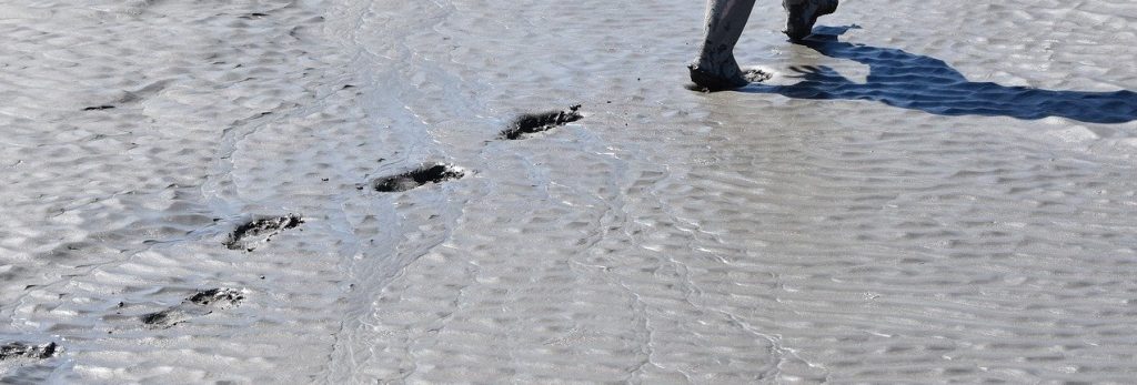
Nearly two feet down, a layer 23,000 years old is exposed, revealing the footprints of a female and a toddler. It chronicles her mile-long trek through the soft clay mud. The discovery forces science to rewrite the timeline of humans on the North American continent, pushing it at least 10,000 years back into the Pleistocene era. Paleontologists have found that 3D laser scanning services can help analyze remains and fill in the gaps of information that’s missing.
3D laser scanning services help with groundbreaking discoveries
Advanced technologies are assisting in the rediscovery of ancient artifacts. Despite being buried beneath two feet of dirt, the footprints were discovered without physically seeing them. The discovery was made possible by ground-penetrating radar (GPR) which is another form of 3D scanning services. GPR has advanced significantly in recent years, as have other types of remote sensing applications.
GPR and things like 3D laser scanning services have drastically improved over the years, allowing more things to be found from our history. Computers can process the GPR data to create three-dimensional images that depict the scanned area’s depth profile. This is the method by which the footprints were discovered.
LIDAR is being used to make more discoveries too
With the assistance of artificial intelligence and machine learning, Lidar (light detection and ranging) enables even more discoveries. For example, lidar revealed the previously unknown ancient Mayan city of Tikal in the Guatemalan jungles.
Lidar is an active sensor that measures the height of the ground. The lidar device scans the landscape using laser beams from an airborne laser scanning (ALS) system mounted on a plane, helicopter, or unmanned aerial vehicle (UAV). The system calculates the time required for the beam to reach and bounce off an object on the ground.
Imagery analysis with 3D laser scanning services
The issue with lidar and imagery is the sheer amount of data, which a human cannot manually review. Because archaeological features can be faint, combining multispectral bands with topographical data is often required. Pixel-based classification and object-based imagery analysis (OBIA) are used to highlight areas of interest for further study.
This is the reason so many researchers are turning to 3D laser scanning services. It helps fill in the missing information and allows them to gain deeper insight in specific areas that help solidify any evidence about the artifact.