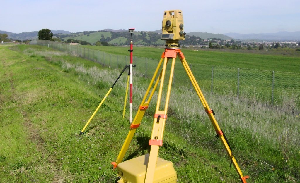
Introduction: The Evolution of Land Surveying
Here’s something most people don’t realize: the LiDAR market is growing so fast that it’s expected to hit $4.7 billion by 2030. That’s not just a tech trend—it’s a sign of how quickly 3D laser scanning is changing the way land surveying gets done. Gone are the days of setting up total stations, pulling tape, and spending days in the field to map out a site. Today, professionals across construction, engineering, and infrastructure are embracing a better way to work: 3D laser scanning.
This article explores what that shift looks like—and why it’s such a breakthrough.
What is 3D Laser Scanning in Land Surveying?
3D laser scanning, also known as LiDAR (Light Detection and Ranging), uses laser pulses to measure distances and capture detailed spatial data. These measurements form a point cloud—a digital replica of the real-world environment, down to millimeter-level detail.
This technology empowers surveyors to:
-
Capture the shape, size, and elevation of land or structures
-
Create topographic maps, 3D site models, and as-built documentation
-
Collect complete site data in a single visit—accurately and safely

Traditional Surveying vs. 3D Laser Scanning
| Aspect | Traditional Surveying | 3D Laser Scanning |
|---|---|---|
| Accuracy | Moderate | High (up to millimeter-level) |
| Time Efficiency | Time-consuming | Rapid data collection |
| Data Representation | 2D drawings or plans | Dense, detailed 3D point clouds |
| Field Safety | Requires onsite exposure | Enables remote, contactless scans |
| Long-Term Cost | Higher (more rework, revisits) | Lower (accurate on first scan) |
Top Benefits of 3D Laser Scanning for Surveyors
- Enhanced Accuracy – 3D laser scanning provides high-resolution data, capturing intricate details that traditional methods might miss. This precision is crucial for projects requiring exact measurements, such as infrastructure development and heritage preservation.
- Time and Cost Efficiency – By rapidly collecting comprehensive data in a single visit, 3D scanning reduces the need for multiple site visits, thereby saving time and reducing labor costs.
- Improved Safety – Surveying hazardous or hard-to-reach areas becomes safer as 3D scanning allows for remote data collection, minimizing the need for personnel to be physically present in dangerous environments.
- Comprehensive Data Collection- The technology captures a complete set of data points, ensuring that no detail is overlooked. This comprehensive dataset can be revisited for analysis without returning to the site.
Applications of 3D Scanning in Land Surveying
1. Topographic Surveys
Generating detailed terrain models aids in planning and design, especially for large-scale infrastructure projects.
2. As-Built Documentation
Creating accurate records of existing structures is essential for renovations, extensions, or compliance checks.
3. Volume Calculations
Determining the volume of stockpiles, excavations, or landfills becomes more accurate, aiding in resource management and billing.
4. Urban Planning
Detailed 3D models assist in visualizing urban development projects, assessing environmental impact, and planning utilities.
Integration with GIS, CAD, and BIM Platforms
The data from 3D laser scanning seamlessly integrates with Geographic Information Systems (GIS), Computer-Aided Design (CAD), and Building Information Modeling (BIM) platforms. This interoperability enhances collaboration among architects, engineers, and planners, leading to more informed decision-making.
Case Studies: Real-World Impact
1. Infrastructure Development
In a large-scale construction project in New York City, 3D laser scanning was employed to capture existing structures with millimeter accuracy. This precision ensured that new constructions aligned perfectly with existing ones, reducing errors and rework .
2. Cultural Heritage Preservation
Organizations like CyArk have utilized 3D laser scanning to digitally preserve historical sites, such as St. Michael’s Mount. The technology allows for the creation of detailed digital archives, safeguarding cultural heritage for future generations .
Read our latest case studies to see how Arrival 3D Company is solving real-world challenges with precise LiDAR scanning and survey-grade data—across industries and across the U.S. – Explore Our Projects
Challenges and Considerations

1. Initial Investment
The cost of acquiring 3D laser scanning equipment and software can be high. However, the long-term benefits often outweigh the initial expenditure.
2. Data Management
Handling large datasets requires robust data storage and processing capabilities. Implementing effective data management strategies is essential.
3. Training and Expertise
Operating 3D laser scanning equipment and interpreting the data necessitates specialized training. Investing in staff development is crucial for maximizing the technology’s potential.
The Future of Land Surveying with LiDAR Technology
As technology advances, 3D laser scanning is expected to become more accessible and integrated into standard surveying practices. Innovations such as drone-mounted LiDAR systems are expanding the possibilities, allowing for rapid data collection over large areas with minimal human intervention.
Conclusion: Why 3D Laser Scanning is the New Standard in Surveying
3D laser scanning has transformed land surveying by enhancing accuracy, efficiency, and safety. Its ability to provide comprehensive data quickly makes it an invaluable tool in modern surveying practices. As the technology continues to evolve, its adoption is set to become the norm, setting new standards in the industry.
✅ Need high-accuracy land survey data without delays?
Arrival 3D Company is your trusted, nationwide partner for LiDAR scanning and precision land surveying. Whether it’s a topographic survey, construction site scan, or digital terrain modeling, we deliver reliable data—fast.
Contact Arrival 3D Today or call 866-687-7784 to get started


