
Los Angeles, California
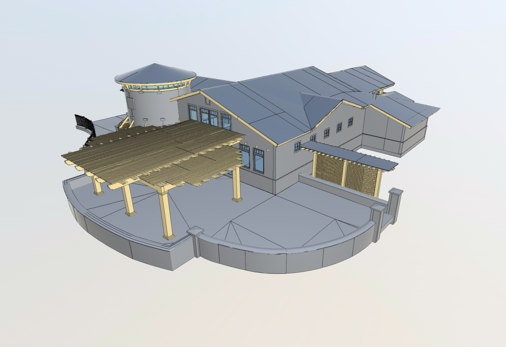
We convert LiDAR point clouds from Nebraska project sites into fully coordinated Revit BIM models at LOD 100–500. Architectural, structural, and MEP systems are all modeled from the same field dataset — used by design teams for renovation coordination, clash detection, and permit documentation. Delivered in RVT and IFC formats.
Arrival 3D captures existing conditions of Nebraska buildings and infrastructure and produces certified as-built drawings in 2D CAD and PDF. Essential for renovation planning, tenant improvements, real estate due diligence, and code compliance projects across . Delivered in DWG and PDF within your required timeline and to any scale specification.
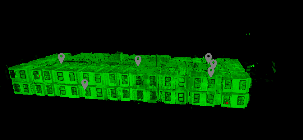
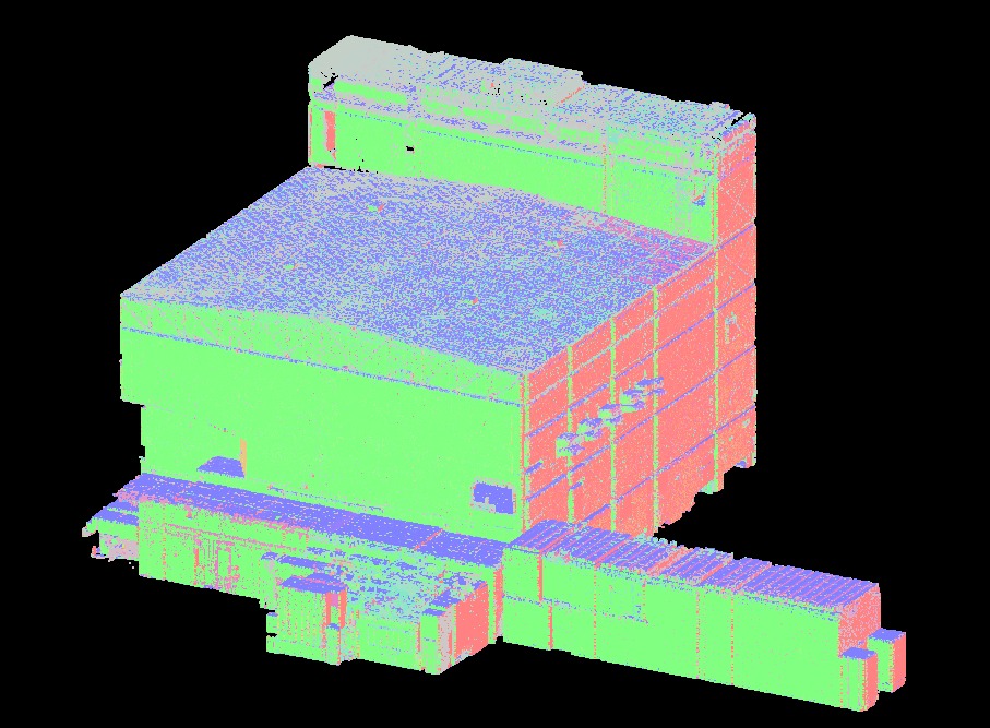
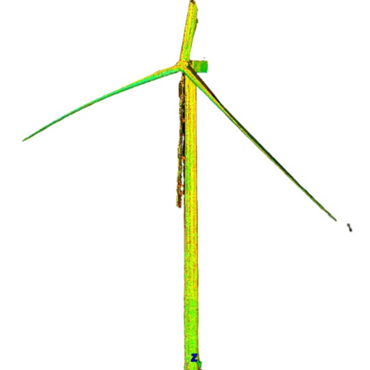
We register, clean, and deliver structured point clouds from Nebraska scan sessions in E57, RCP, RCS, and PTX formats. Color or greyscale output available. Processed point clouds are immediately usable in Revit, AutoCAD, and Navisworks. We provide alignment to project coordinate systems and benchmarks for surveying compliance requirements.
We build interactive digital twins of Nebraska facilities that mirror physical layout, MEP systems, and asset data. Digital twins support facility management, predictive maintenance, space planning, and remote operations for commercial, healthcare, and industrial campuses across the Nebraska metro area — delivered with virtual walkthrough capability and embedded measurement tools.
For manufacturing plants, refineries, power facilities, and process equipment in the Nebraska area, Arrival 3D performs precise as-built documentation of complex piping, structural steel, and mechanical equipment. Our industrial scanning in Nebraska supports turnaround planning, plant expansion, retroactive documentation, and safety compliance — with zero-interruption field protocols for active facilities.
For large sites, rooftops, and outdoor infrastructure in Nebraska and surrounding areas, Arrival 3D deploys UAV-mounted LiDAR and photogrammetry systems to capture aerial point clouds and orthomosaics. Used for site surveys, roof assessments, topographic mapping, and large-format infrastructure documentation. All Nebraska drone operations comply with FAA Part 107 and local airspace requirements.
From LiDAR data captured at Nebraska project sites, we produce accurate 2D floor plans, elevations, sections, and isometric drawings in AutoCAD DWG format. Used by Nebraska architects and facility managers for permit submissions, lease documentation, space planning, and ongoing building operations. Available at any scale with full annotation.
For Nebraska real estate, retail, hospitality, and commercial clients, Arrival 3D provides Matterport 3D virtual tours with embedded measurement tools, floor plan exports, and schematic drawings. An efficient, cost-effective solution for smaller commercial spaces, multi-family properties, and showroom documentation across Nebraska with fast delivery.
Existing conditions, renovation planning, historic preservation, and design coordination for Nebraska commercial and residential projects.
Clash detection, as-built MEP models, structural verification, and BIM coordination at LOD 300–500 for Nebraska projects.
Pre-construction existing conditions, progress documentation, quality control, and as-built deliverables for permit closeout in Nebraska.
Digital twins, space planning, asset documentation, and accurate floor plans for ongoing facility operations across Nebraska campuses.
Piping, equipment, and structural steel documentation for turnaround planning, plant expansion, and safety compliance at Nebraska facilities.
Infrastructure documentation, ADA surveys, historical building records, and transportation corridor scanning for Nebraska agencies.


LiDAR performs reliably in the enclosed mechanical rooms, basements, and low-light interiors common in 's older commercial and industrial building stock. Photogrammetry excels on well-lit exteriors. Arrival 3D selects the optimal technology — or a hybrid — based on your specific Nebraska site conditions.
Any Nebraska renovation, retrofit, or industrial documentation project larger than 2,000 sq ft typically produces positive ROI from 3D scanning — the time saved on field measurement and the errors avoided in design coordination outweigh the scanning cost on the vast majority of projects.
Registered, cleaned, color or greyscale. Ready for Revit, AutoCAD, Navisworks.
Arch, structural, and MEP at LOD 100–500 per project spec.
Floor plans, elevations, sections, RCPs, and isometrics.
Walkthrough-enabled facility twins with measurement and asset data.
Textured mesh for visualization, rendering, and heritage docs.
Orthomosaics, aerial point clouds, topographic surfaces.

We review your Nebraska project goals, existing documentation, timeline, and deliverable requirements. You receive a fixed-fee estimate before any work begins.
We review your Nebraska project goals, existing documentation, timeline, and deliverable requirements. You receive a fixed-fee estimate before any work begins.
Our Leica-certified technicians capture your Nebraska site at 2 million points per second. Multiple scan stations are registered for complete, seamless spatial coverage.
Raw scan data is registered, cleaned, and processed into your deliverables — point cloud, BIM model, CAD drawings, or digital twin — in your specified formats.
Deliverables arrive on schedule via secure cloud transfer, ready for immediate use in your Nebraska design, construction, or facility operations workflow.
Leica P-Series and RTC360 scanners — the industry benchmark for survey-grade accuracy. Every operator is certified and carries industry-leading equipment to your Nebraska project site.
Every Nebraska project receives a fixed-fee estimate before work begins. Scope, deliverables, timeline, and cost are agreed in writing with no hidden fees or surprises at delivery.
Point clouds, Revit BIM at LOD 400, stamped 2D CAD drawings, or a full digital twin — we deliver in your format, to your specification, for any Nebraska project type.
For time-sensitive Nebraska projects, Arrival 3D offers expedited field scheduling and accelerated processing. Contact us to confirm availability and rush delivery options.
Our scan-to-BIM deliverables have helped Nebraska construction teams identify and resolve costly MEP clashes before they reach the field — reducing change orders and schedule overruns.
Arrival 3D operates nationally with deep experience in Nebraska. We understand local regulations, coordinate systems, and building stock — and we staff projects with technicians who know the los Angeles market.
 Fixed-fee estimate before work beginsLeica-certified operators on siteSurvey-grade ±2mm LiDAR accuracyDeliverables in your required file formatOn-schedule delivery guaranteedRush turnaround availableImplementation support included