

Name - 3D Laser Scanning of a Hotel in Charlotte, South Carolina

Location - Charlotte, South Carolina

Deliverable - Colored floor flatness maps, elevation dataset, point cloud dataset and additional elevation analysis upon request.

Objective - To evaluate floor flatness with millions of elevation measurements from all visible floor surfaces.

Result - Color-coded floor flatness maps were produced in order to show elevation differences on the scanned surfaces.
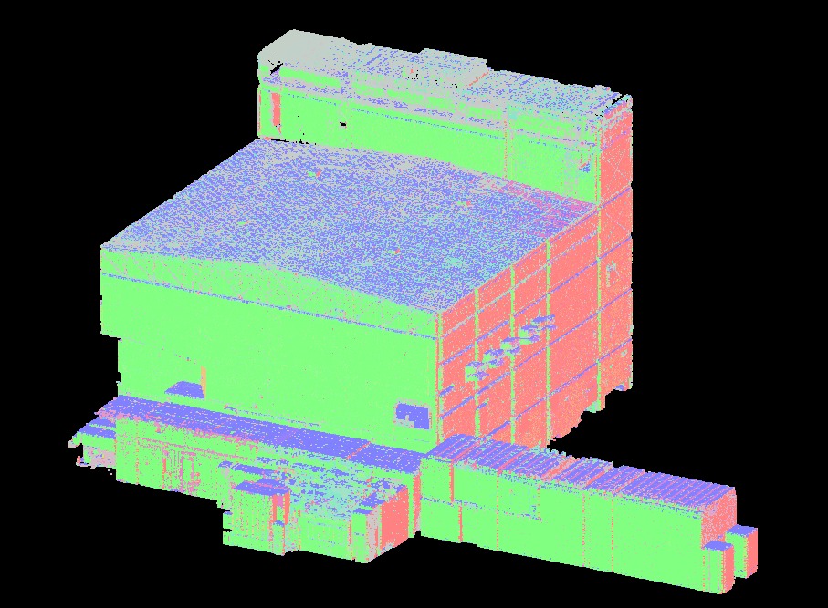
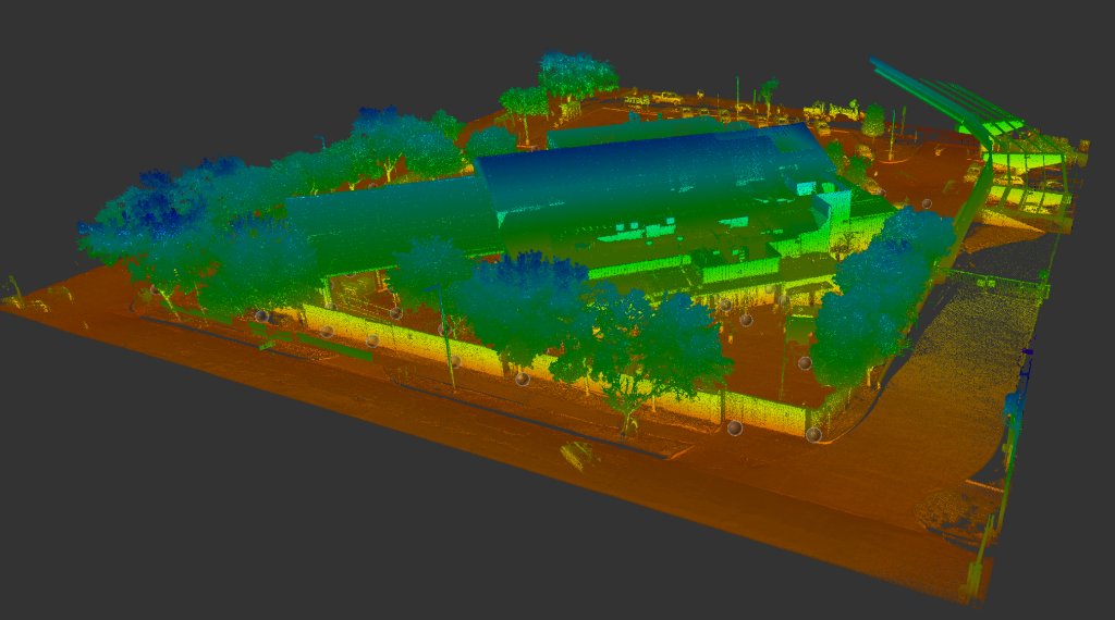
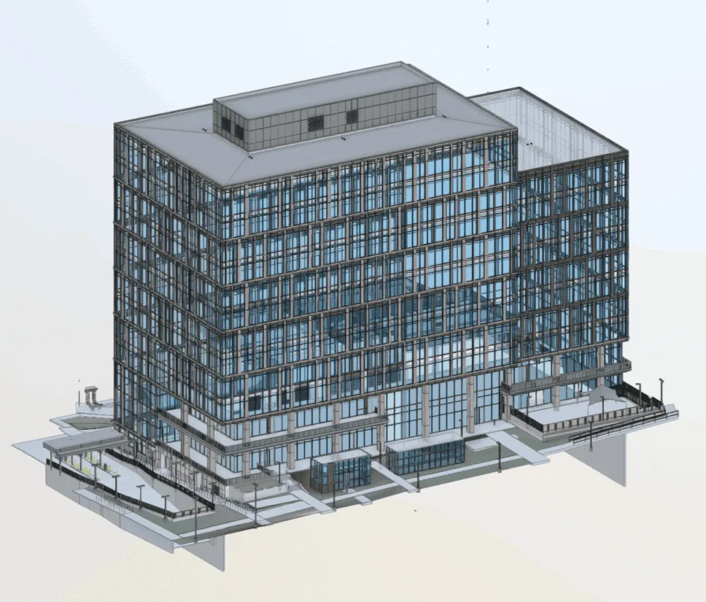
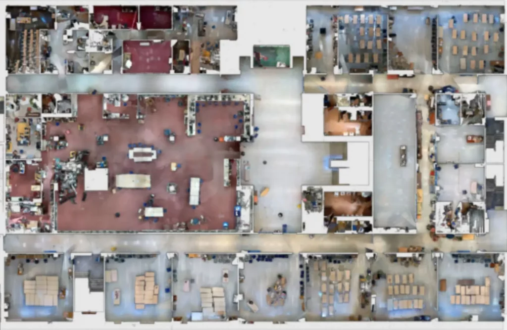
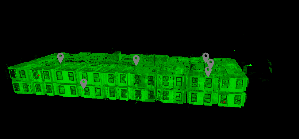
A hotel in Charlotte, South Carolina required a comprehensive floor flatness assessment to evaluate the condition of floor surfaces prior to future building and finishing activities. Arrival 3D was commissioned to do high-density 3D laser scanning capturing millions of elevation measurements across all visible floor surfaces. This collected data was converted into comprehensive color-coded flatness maps that showed variations in floor elevations helping the client to readily locate uneven regions throughout the facility.
The client is a hotel owner who required accurate data on floor flatness throughout their site to understand existing floor conditions and identify elevation deviations. The collected information is going to be very useful for future construction or renovations.
Challenges and Solutions
Solution: Arrival 3D scheduled several scanning locations and performed additional scanning if necessary to ensure full coverage.
Solution: We collected millions of point clouds and turned them into elevation data for the visible floor, together with color-coded maps which help engineers quickly spot floor deviations.
Results and Benefits:
Clear Visualization: The color-coded flatness maps gave engineers the immediate visual overview of elevation changes across the hotel floor. It even helped assess the general condition of the floor surface without having to interpret thousands of individual measurements.
Reduced future fieldwork: All point clouds were saved and we can now easily create any future reports like fill volume for low spots, individual coordinates for high spots and more without returning to the site.
Improved Project Planning: Precise floor elevation data help engineers and contractors make better plans while building, installing or remodeling the floor.