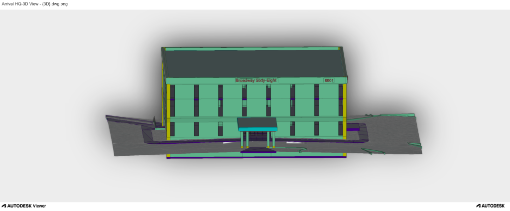
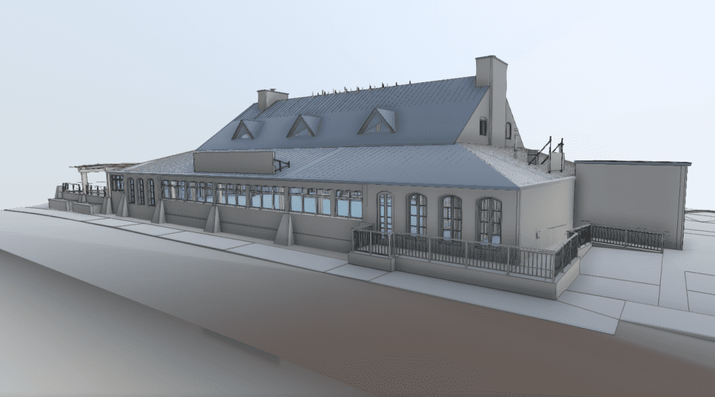
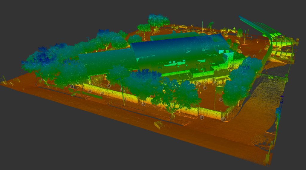
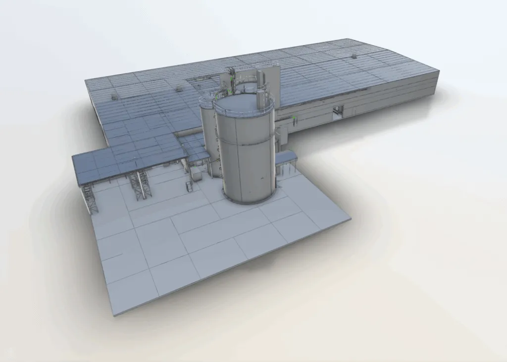
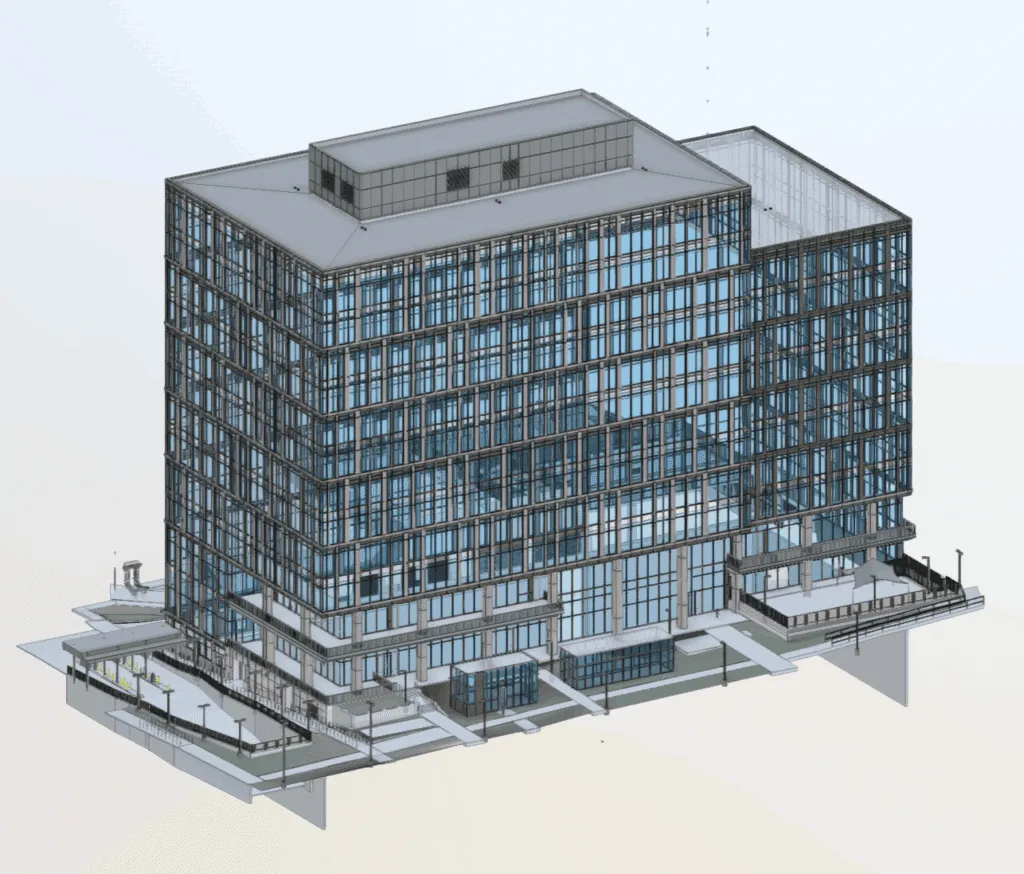
Arrival 3D performed onsite reality capture for three buildings at The Territory to document existing conditions for future planning and design use.
The project utilized the Leica RTC360, selected for its speed, accuracy, and suitability for rapid commercial building capture.
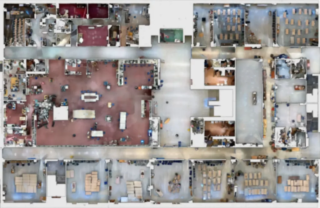
A registered, full-color point cloud of all scanned areas, indexed and ready for use in Autodesk Revit, AutoCAD, Civil 3D, Navisworks, and other compatible software.
All scan positions are aligned to a common coordinate system established during field registration. The .RCP format is compact, indexed, and optimized for real-time navigation and measurement.
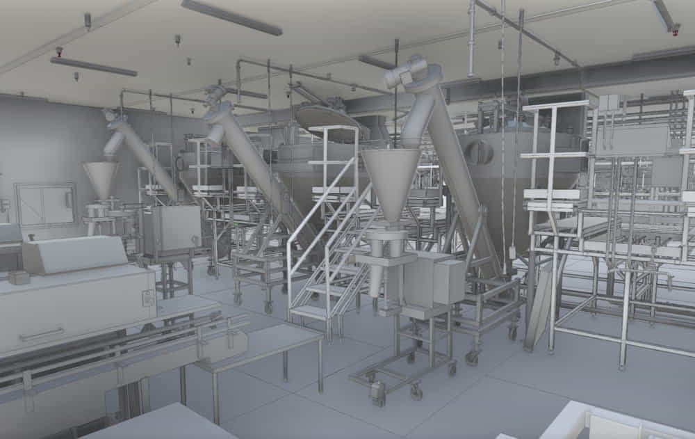
A design-intent as-built model created in Autodesk Revit from the point cloud reference. Walls, floors, ceilings, structural elements, and other modeled components are represented as straight, flat, and plumb – reflecting as-built conditions without survey-grade distortion correction.