Construction Industry Experts are Leveraging Technology
The infrastructure below the surface that dates back to as far as the 19th century often causes problems, and experts in the construction industry need reliable information about the underground layout.
Knowing what’s happening below the surface is more important as the construction industry continues to grow. While this reality can cause alarm, the fact that we live in an era of rapid technology development assures us that such issues can be dealt with. For instance, 3D laser scanning services and GIS technology can help alleviate potential safety issues with underground infrastructure.
3D scanning services, GIS technology like ground-penetrating radar (GPR), and digital twins are gradually getting accepted in the industry. Experts in the construction industry, both private and public entities, working on underground projects should leverage the perks of such technology.
Besides safety, other benefits include reduced costs, efficiency, and preparedness for the future.
3D Laser Scanning Services and Digital Twins for Worker Safety
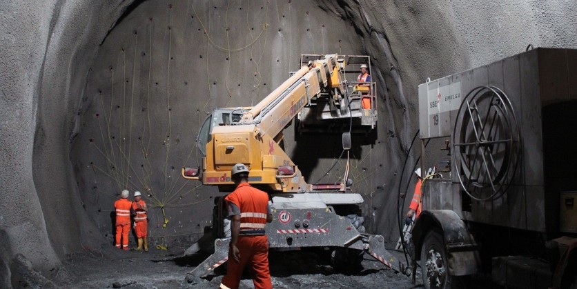
Construction projects that generally require subterranean work demand that safety should be prioritized. While eliminating safety issues where team members and the community are affected is a challenge, 3D scanning services can ensure such challenges are mitigated and, in some cases, completely eliminated.
One of the main concerns on this front relates to unintentional strikes of existing and unknown infrastructure. For instance, between 2012-2017, 318 recorded injuries and deaths occurred from unintentional electrical circuit strikes. Therefore, 3D laser scanning services can provide construction workers and municipalities with accurate information to prevent such issues.
Nations around the globe are working to fix the safety issues mentioned above, including the United Kingdom, where they established the National Underground Asset Register (NUAR). This board aims to develop a precise and real-time digital twin of all existing underground infrastructure. Any party with an underground construction project can access such data.
Reality Capture to Improve Construction Efficiency
According to McKinsey’s report, most large projects take 20% longer to complete than planned. As a result, this affects underground work construction. The use of 3D scanning services and GIS technology can help in addressing such inefficiency issues. Most delays are often a result of discovering unknown assets leading to a change of plans.
3D scanning services, digital twins, Electromagnetic Location (EML), and Ground Penetrating Radar (GPR) can enhance safety and help streamline the surveying process. These technologies can also help speed up processes like scanning.