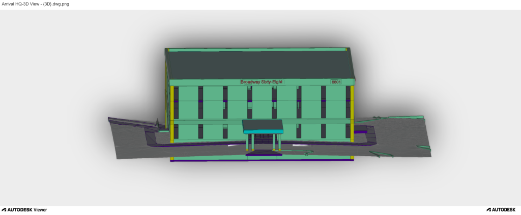
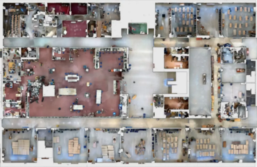
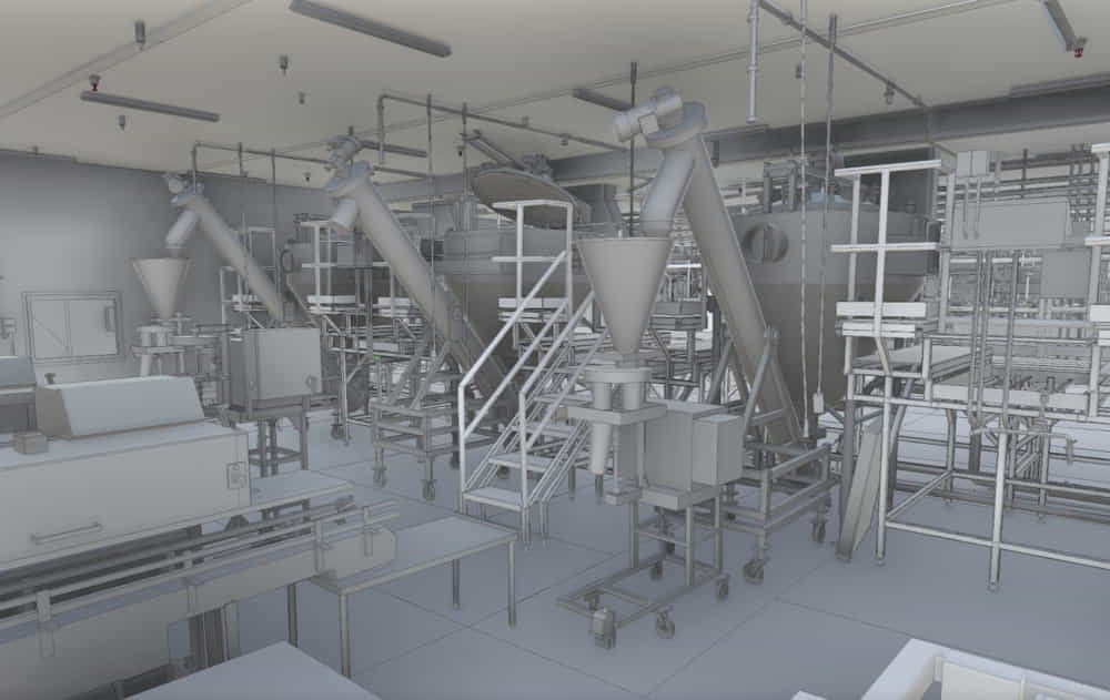
Name - Wind Turbine Scanning
Project Area - 3,500 sq ft
LOD -
Description -Scanning a tall elevated wind turbine with limited access was a challenge. The reality capture process required scanning the detailed data of the turbine’s tower and blades. Our surveyors used aerial laser scanning with drone to undertake a scanning process before converting the point cloud data into a 3D BIM model. This as-built model enabled engineers to detect potential deformations, and optimize structural maintenance, resulting in long-term performance.