Precision LiDAR Scanning for Safer, Smarter Mining
3D Mine Surveying Services
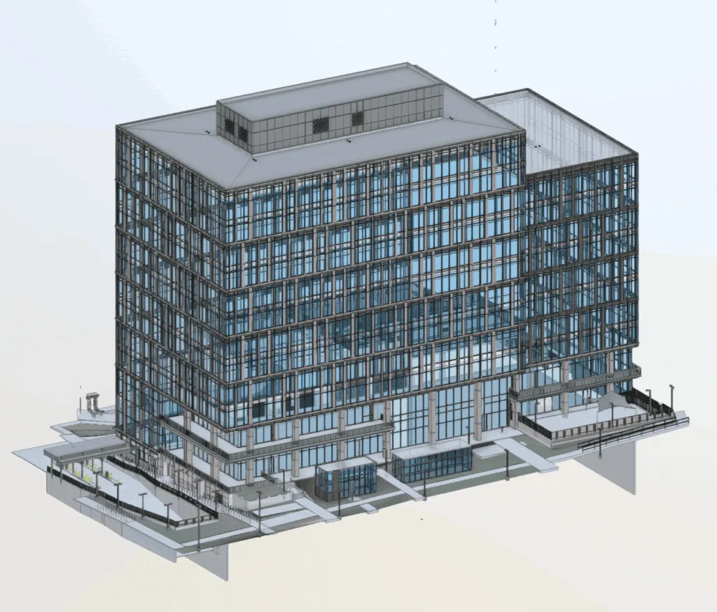
Get Usable 3D Revit models that Save Time, Reduce Design Clashes and increase Quality
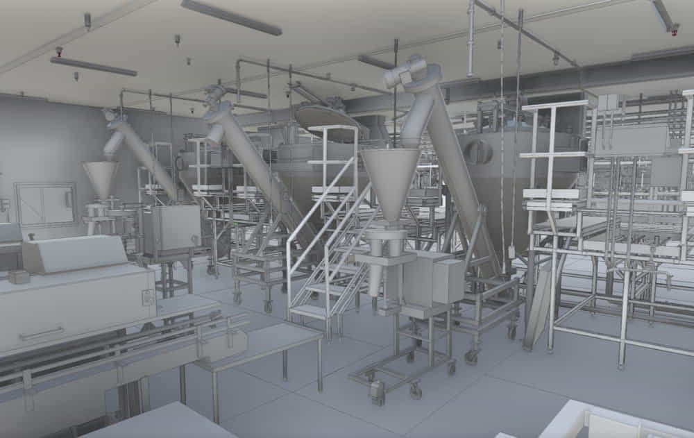
3D LiDAR Scanning in Mining
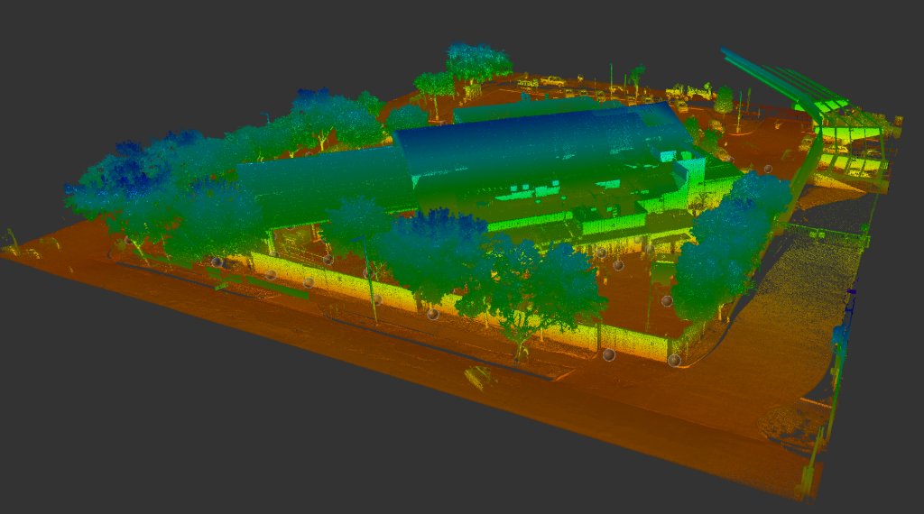
At Arrival 3D, we specialize in 3D mine surveying services that deliver fast, accurate, and safe documentation of complex mining environments. Using advanced 3D laser scanning and LiDAR technology, our team captures millimeter-precise data to help mining companies optimize operations, ensure safety compliance, and plan more effectively.
Whether you’re managing an open-pit mine, underground shaft, or stockpile yard, our scanning solutions are designed to handle the unique challenges of mining.
With crews located across the United States, Arrival 3D is ready to mobilize quickly for urgent or large-scale mining projects. Our team is equipped with Leica RTC360, ScanStation P-series, and BLK360 devices to handle both rugged outdoor terrains and tight underground spaces.
Mining environments are high-risk and constantly evolving. Traditional surveying methods are often time-consuming and prone to error. Our 3D scanning services for mining offer a smarter alternative:
High-Accuracy Surveys – Capture every slope, tunnel, and void with millimeter precision
Improved Safety – Non-invasive data collection minimizes the need for personnel in hazardous zones
Fast Turnaround – Rapid scanning reduces downtime and accelerates decision-making
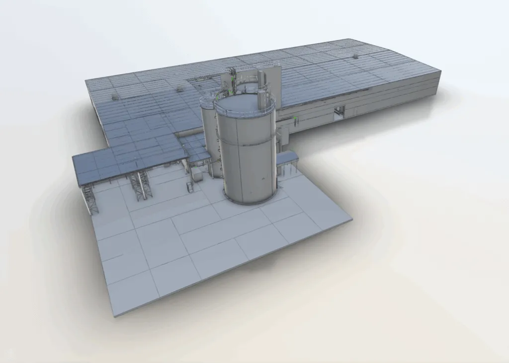
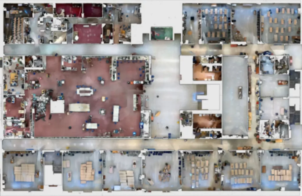
Data-Rich Outputs – Generate point clouds, 2D plans, 3D models, and volume calculations for reporting and design
Repeatable Monitoring – Track site changes over time with digital twin comparisons
We serve a wide range of clients across the mining sector, from exploration to active production. Common applications include:
Mine Shaft Mapping – Document vertical and horizontal shafts with high-resolution data for structural analysis and rehabilitation planning.
Stockpile Volume Analysis – Use LiDAR scanning to calculate material volumes with pinpoint accuracy—ideal for inventory tracking and reporting.
Open-Pit Mine Scanning – Capture elevation data, bench design, and topography in challenging, large-scale environments.
Tunneling and Drift Mapping – Get accurate profiles of underground passages to support ventilation planning, wall stability checks, and excavation progress.
Safety and Compliance Documentation – Quickly assess mine geometry and environmental conditions to meet MSHA or OSHA standards.
“My company has used Arrival on several occasions. Arrival came to our remote job site a couple times, bringing their equipment with them. I am enthusiastic about their capabilities and service.”
"I called Arrival 3D while working a unique project. They were very professional and knowledgeable. My contact was very thorough and patient with me in explaining the process. Their services were the first step of a very important project and they made me look good. I highly recommend this company."
“I have used Arrival 3D for many projects over the last several years. A great group to work with. I can always count on them to get the work completed on time and on budget.”
“I had Arrival 3D laser scan two properties that are going into the architectural design phase. They produced LOD 300 models for both project that were excellent. Scheduling was easy and the 3 week turnaround was fast. I look forward to using them on many more development projects.”
"Lanny and his team responded quickly and efficient to our request. They were on-time, clearly communicated with us whenever we had questions and ultimately delivered a great product. We really appreciate their effort and look forward to working with them in the future."
"Working with Lanny @ Arrival 3D was a great experience. He was extremely friendly and very responsive. The turn around time on his work was fantastic. In terms of pricing for the work, I would say that it was extremely reasonable, and the results were amazing. I did my research, and out of all the companies I researched Arrival offered the best services for the price."