At Arrival 3D, we’ve run Leica scanners on power plants, historic courthouses, offshore ships, refineries, and high-rises nationwide for over 20 years. We do one thing: 3D laser scanning and we do it better than anyone else. So when Leica launches, we pay close attention.
On 9 June 2026, Leica Geosystems put three new terrestrial laser scanners on the table: the RTC300, RTC500, and RTC700. Built on the company’s decades of leadership in terrestrial laser scanning, the new series improves scanning speed, accuracy, and range. It also adds real-time workflow connectivity that keeps field and office teams aligned from first scan to final deliverable.
For anyone who has spent years on an RTC360 or a ScanStation, this launch pulls those two worlds together. The spec sheet shows three deliberate splits between the tiers.
Our Platform, Three Performance Tiers
All three run on one platform. What changes between them is reach. The RTC300 measures up to 85 m, the RTC500 up to 130 m, and the RTC700 up to 270 m, with the figures tied to surface reflectivity. Those lower-albedo numbers count on real sites, where crews scan dark concrete or wet steel rather than clean lab targets.
The 300 captures up to 1 million points per second; the 500 and 700 push up to 2 million. The 700 adds a finer resolution step on top. Where the 300 and 500 start at 3 mm at 10 m, the 700 reaches 1.6 mm at 10 m, plus an area scan mode at 0.8 mm.
All three use time-of-flight ranging with waveform digitizing, a 1550 nm invisible Class 1 laser, a 360 by 300 degree field of view, 10 arcsecond angular accuracy, and 1.2 mm + 10 ppm range accuracy. So baseline data quality holds whether the buyer picks the entry unit or the top one.
| RTC300 | RTC500 | RTC700 | |
| Best for | Building construction & interior fit-outs | Surveying, infrastructure & public safety | Large-scale industrial, plant & complex infrastructure |
| Max range | 85 m (32% albedo) | 130 m (8% albedo) | 270 m (3.5% albedo) |
| Scan speed | Up to 1M pts/sec | Up to 2M pts/sec | Up to 2M pts/sec |
| Resolution | 3 mm @ 10 m | 3 mm @ 10 m | 1.6 mm @ 10 m / 0.8 mm area scan |
| Range accuracy | 1.2 mm + 10 ppm | 1.2 mm + 10 ppm | 1.2 mm + 10 ppm |
| Livelink / Cloud | Included | Included | Included |
| Multi-scanner | Single → scalable | Supported | Advanced / at scale |
| Ideal upgrade from | RTC360 / LT | RTC360 / ScanStation P30 | ScanStation P40 / P50 |
The Tiers Are About Range, not three separate machines.
All three run on one platform. What changes between them is reach. The RTC300 measures to 85 m, the RTC500 to 130 m, and the RTC700 to 270 m, with the figures tied to surface reflectivity. Those lower-albedo numbers count on real sites, where crews scan dark concrete or wet steel rather than clean lab targets.
The 300 captures up to 1 million points per second; the 500 and 700 push up to 2 million. The 700 adds a finer resolution step on top. Where the 300 and 500 start at 3 mm at 10 m, the 700 reaches 1.6 mm at 10 m, plus an area scan mode at 0.8 mm.
All three use time-of-flight ranging with waveform digitizing, a 1550 nm invisible Class 1 laser, a 360 by 300 degree field of view, 10 arcsecond angular accuracy, and 1.2 mm + 10 ppm range accuracy. So baseline data quality holds whether the buyer picks the entry unit or the top one.
The Upgrade Path Is the Quiet Headline
As projects grow in size and demand, users can move to a higher performance tier without replacing the system. Buy a 300 for interior renovation work this year, take on a plant survey next year, step up to a 500 or 700 without re-tooling the whole kit or retraining the crew. For a smaller firm watching capital spend, that is a practical argument rather than a slogan.
Livelink Is the Feature Worth Testing First
The hardware is solid, but the workflow change carries more weight. Livelink, a new capability in Leica Cyclone FIELD 360, streams scan data to Hexagon GeoCloud as it is captured, and multiple scanners can feed one shared project in real time.
Picture a two-scanner crew on a 40-story shell. In the old pattern, data was captured in the field, physically imported for final registration back at the office, and only then shared. A registration gap or a missed area surfaced days later, after the crew had demobilized. With cloud streaming, the office sees coverage while the team still stands on the slab. The hole gets caught before the tripod gets packed.
Each scanner connected to the Cyclone FIELD 360 app can activate a Livelink scene in Hexagon GeoCloud and join a cloud collaboration project, so the app stays the in-field interface for visualization, setup checks, and tagging while syncing runs behind it.
Most of the cost in a scanning operation was never the scan itself. It was the wait, the return visit, and the registration surprise discovered hours after the crew left the site. Moving that loop to real time is where the hours come back and where the client experience improves.
What Each One Is For
Leica is fairly direct about positioning across the three:
- RTC300: Agile reality capture for building construction and fast-moving project environments, with a path from single-scanner work to scalable operations.
- RTC500: Balanced performance for surveying, construction, public safety, and infrastructure teams that adapt to changing site conditions.
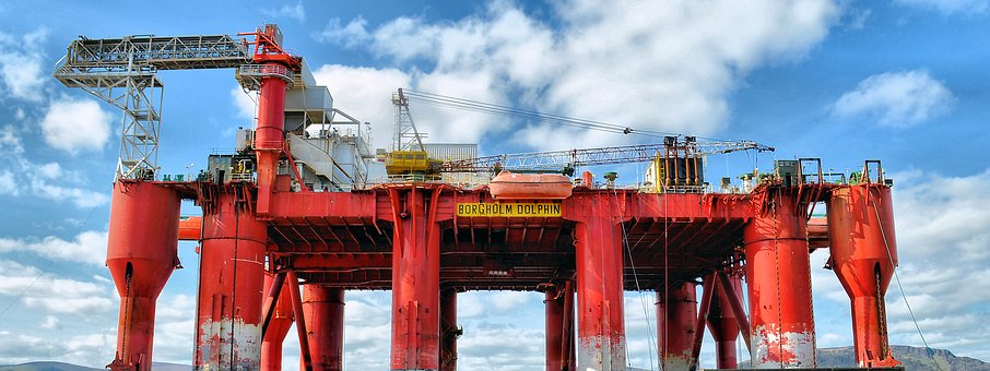
- RTC700: Maximum capability for large-scale infrastructure, industrial plants, and complex surveying, with multi-scanner workflows at scale.
A Few Practical Notes
The point-rate jump and the longer 700 range will earn their keep on big jobs. The thing that changes how teams actually operate is Livelink. Most of the cost in scanning was never the scan itself. It was the wait, the re-visit, the registration surprise hours after the crew left. Moving that loop to real time is where the hours come back.
One more point that affects buying plans is that the new RTC series replaces the existing RTC360/LT and the ScanStation P30/P40/P50 lines. Firms running those models should treat this as a succession plan, not just a shiny option on the shelf.
Worth booking a demo if reality capture is part of the pipeline. The smart approach is to test it against the hardest site on the books, not the easiest one. That is where the range numbers and the field-to-cloud claim get a fair trial.
Ready to Put the RTC Series to Work?
We’re already scheduling RTC series deployments for clients. If reality capture is in your pipeline, the smart move is to test it on your hardest project, not your easiest one. That’s where the range numbers and the Livelink claim get a fair trial, and where the value shows up in your schedule.
Get in touch with the Arrival 3D team to discuss your next project, book a demonstration, or talk through which tier fits your operation.
Contact us: arrival3d.com | Nationwide 3D Laser Scanning | Power plants to penthouses